Introduction
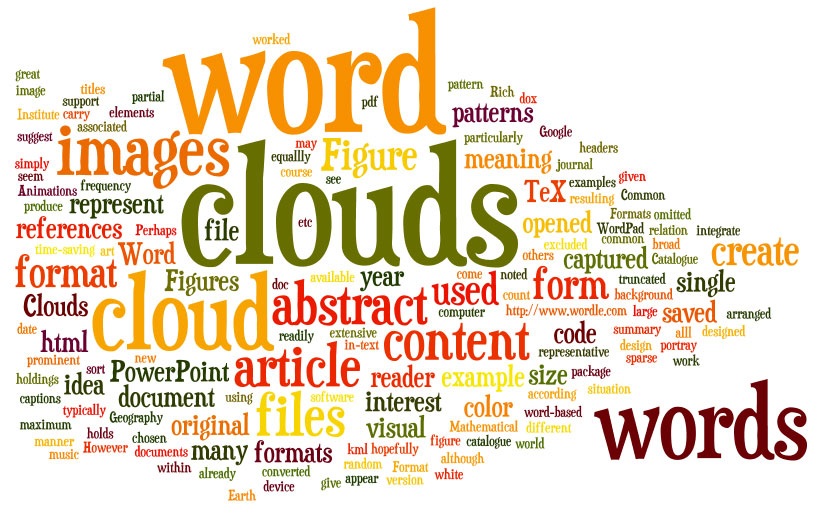
Word
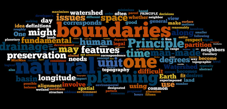
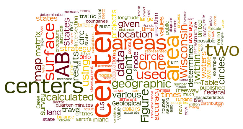
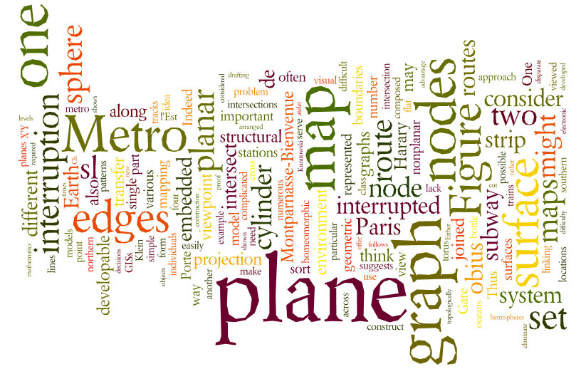
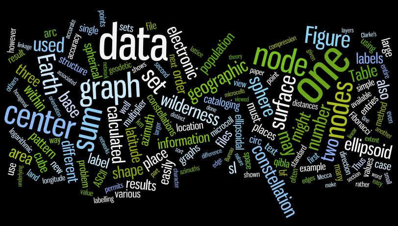
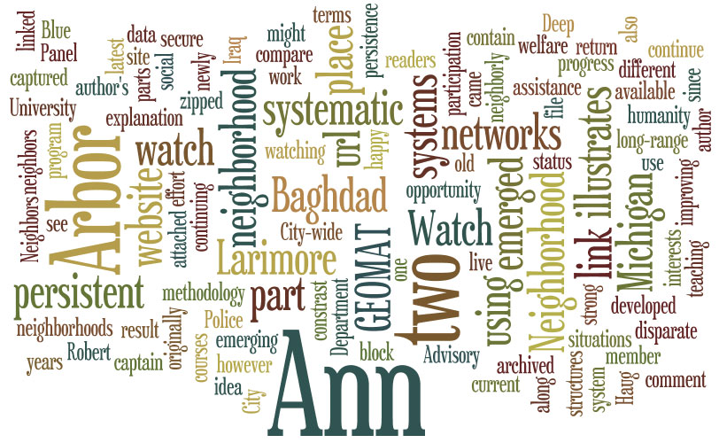
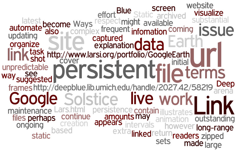
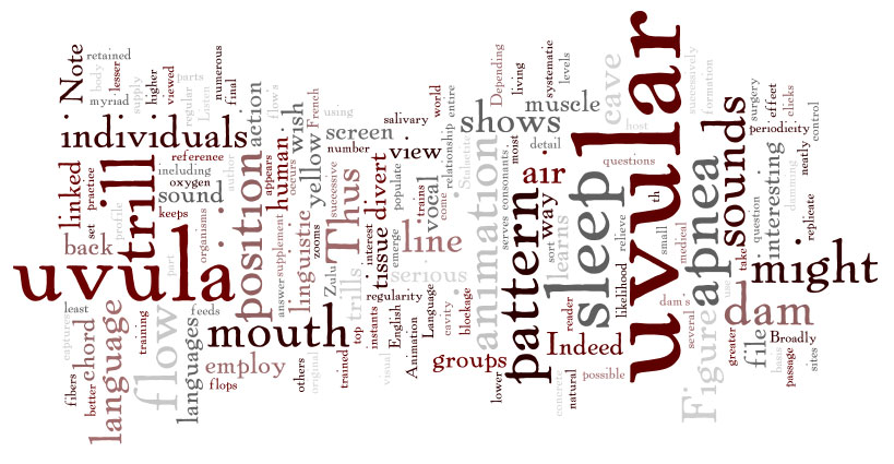
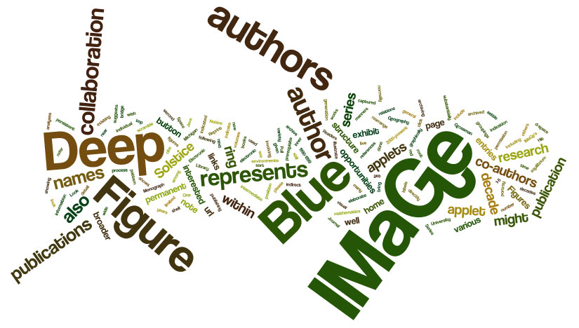
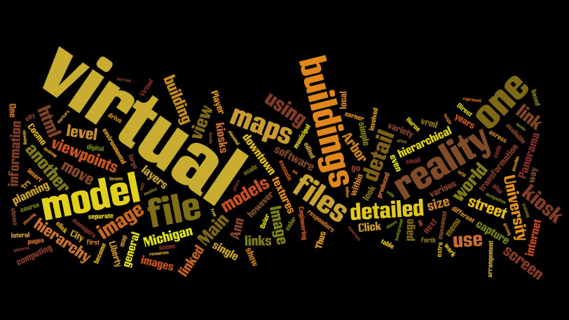
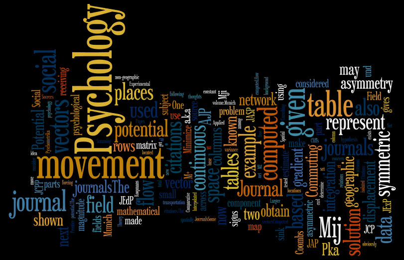
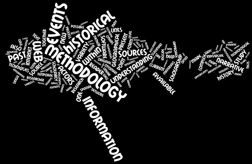
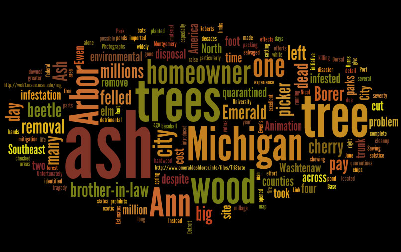
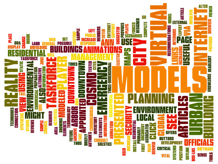
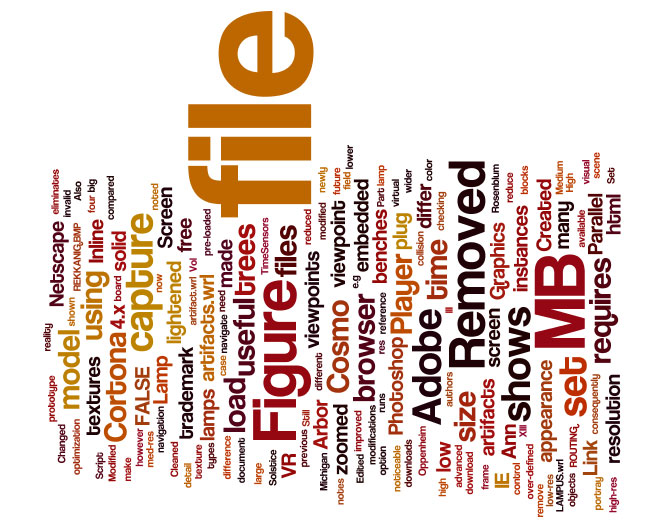
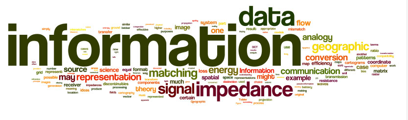
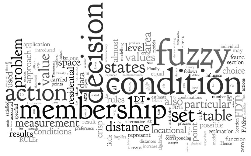
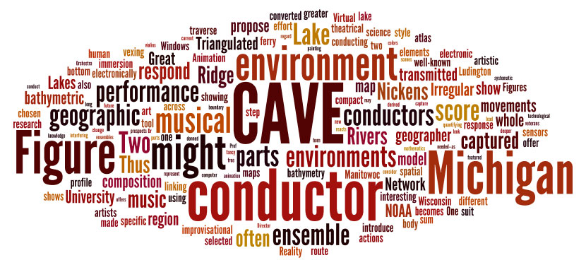
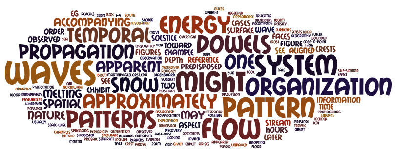
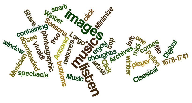
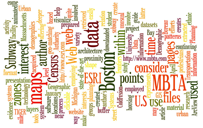
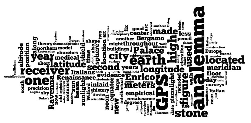
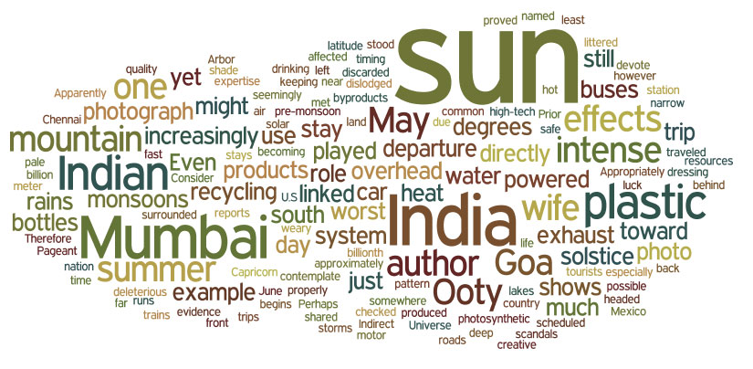
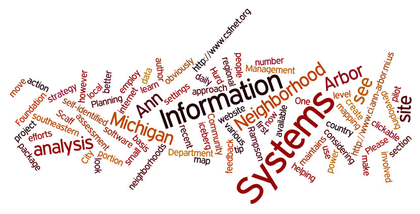
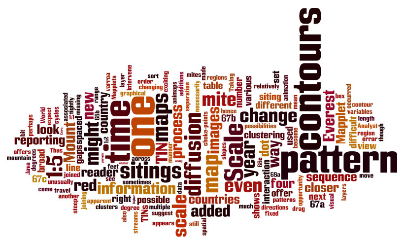
clouds are images that portray word
frequency in a document according to the size of the word in the
cloud. The words may be arranged in patterns designed to pique
interest. They are a sort of abstract, or visual, abstract of a
book or article. Word clouds are abstract art representing
document content. At a glance, the reader can see what are the
important concepts simply by word size in the image. They unify
conventional journal "abstracts," "key words," and "word frequency
counts."
This
new form of abstract is used to create abstracts for the holdings
of the Institute of Mathematical Geography from its beginning in 1985
to date. Not all documents can be captured equallly in this
manner. Scanned images and other images are excluded. Some
files produce denser clouds than do others; as in the real world, there
are different kinds of clouds! Formats that are easiest to work
with are word-based formats: .html, .pdf, .doc, .dox, and
.TeX. PowerPoint displays can be opened in PowerPoint and saved
as Rich Text Format and then worked with to form a cloud but these
clouds are typically quite sparse in content in relation to the
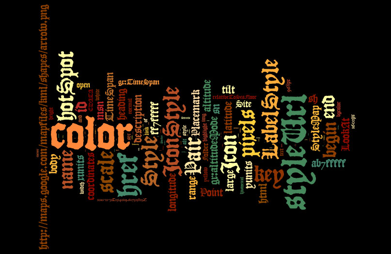
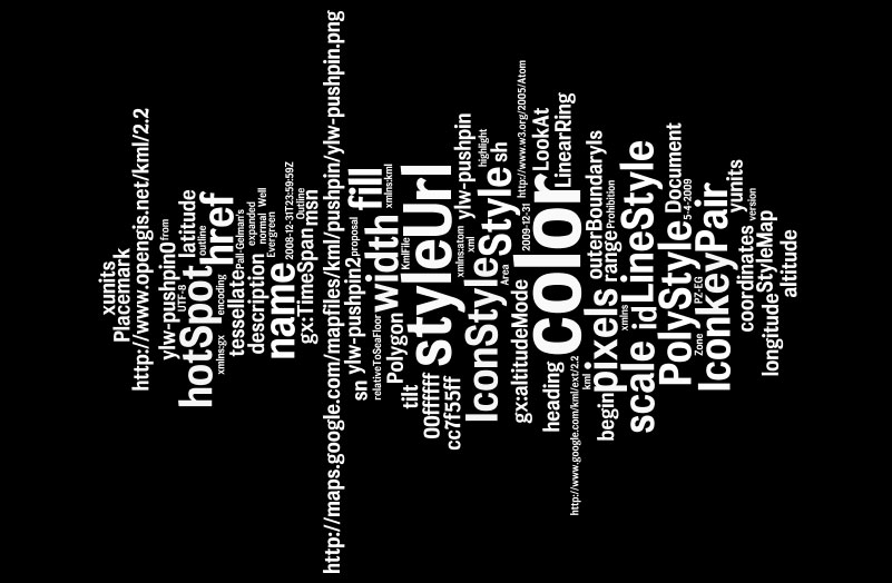
original file. Google Earth files, saved in .kml format, can be
opened in WordPad or some such and then converted to cloud form.
However, many of the most common words will be computer code words; the
same situation holds for TeX files. If these files of code are
too large, then a truncated version of them, hopefully representative
of broad content, was used. A partial idea of the content seem to
come through. Animations, applets, movies, and music are
other examples of formats that cannot, or cannot readily, be captured
in word cloud format. Perhaps that is not particularly a
limitation; they have great visual interest already. In the
catalogue below, the original file format is noted if it is not
.html. That way, the reader will have an idea of the limitations
associated with the word pattern in the resulting cloud.
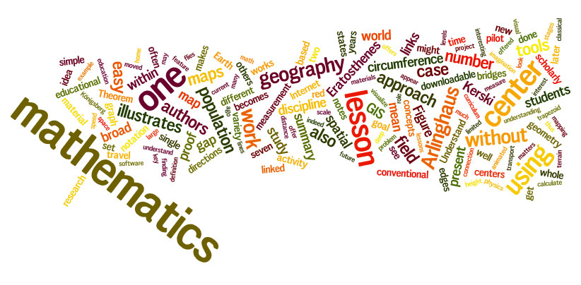
Catalogue of IMaGe Word
Clouds
The software used to create the
clouds is available
online: http://www.wordle.com/ In using this package to
create word clouds, a maximum word count of 150 was selected and random
design and color patterns were chosen, largely as a time-saving
device. Common words were omitted ("the", "and", etc.). So
too were figure captions, section headers (when extensive), article
titles, and references and other word elements that give, in
themselves, a summary of meaning. The words "Figure" and
"Figures" will no doubt appear prominently in most clouds as in-text
references to images (Figure 1, for example) were not deleted.
The rest of the words in the cloud will carry most of the meaning,
although of course when "Figure" or "Figures" are prominent in the
cloud they suggest that the article has many images in support of the
words. To integrate word clouds within a given year, alll
backgrounds from a single year are the same color; for example, all
word clouds from 2010 have a white background. Clouds from 1990
to 1996 represent a full journal; after 1996, clouds represent a single
article.
The
material below presents a fairly complete catalogue of word clouds
for Solstice. Look for
word clouds to continue to be integrated throughout the entire IMaGe
site!
| Solstice:
An
Electronic Journal of Geography and Mathematics |
2011
| Volume
XXII, Number 1. |
Volume
XXII, Number 2. |
Institute
of Mathematical Geography
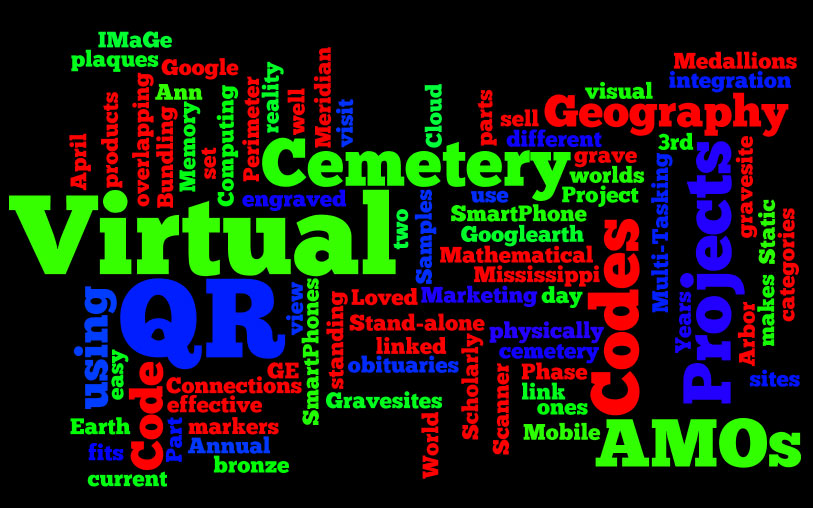
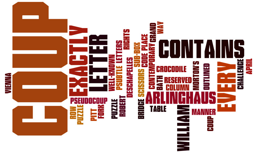
Quick
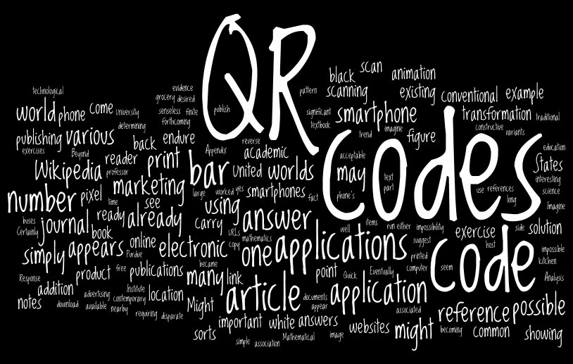
Response Code (QR Code) Archive
Sandra
L. Arlinghaus
 |
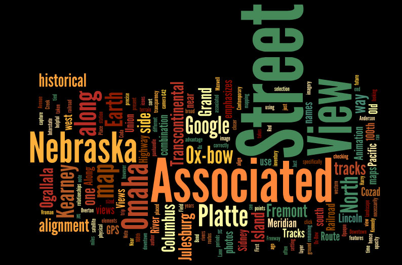
Contemporary
Views Along the First Transcontinental Railroad (Available as .pptx)
Richard Koenig
 |
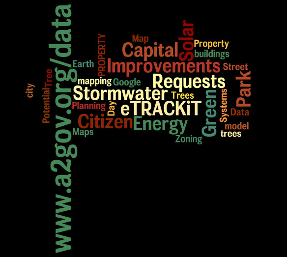
3D
and 2D Mapping
(available only as a .pptx file)
Matthew
Naud, Environmental Coordinator City of Ann Arbor, with Systems
Planning Staff
 |
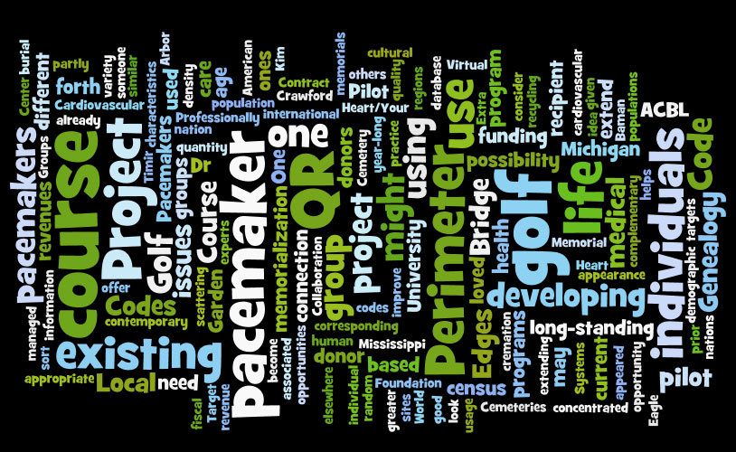
The
Perimeter Project, Part 6.
Connections:
Scholarly Multi-tasking in a Mobile Virtual World, Part 3.
(Available as .pptx)
Sandra
L. Arlinghaus and William E. Arlinghaus
 |
Ann
Arbor, Downtown Historical Marker Survey (available only as a .kmz file)
Sandra
L. Arlinghaus
|
 |
The
Perimeter Project, Part 5.
Connections:
Scholarly Multi-tasking in a Mobile Virtual World, Part 2
(available only as .pptx file)
Sandra
L. Arlinghaus and William E. Arlinghaus
|
|
Pall-Gelman
Plume, A Contemporary Google Earth View
(available only as a .kmz
file)
Roger
Rayle
|
|
|
2010
|
2009
|
2008
|
2007
|
2006
|
2005
|
2004
|
2003
| Volume
XIV, Number 1 |
|
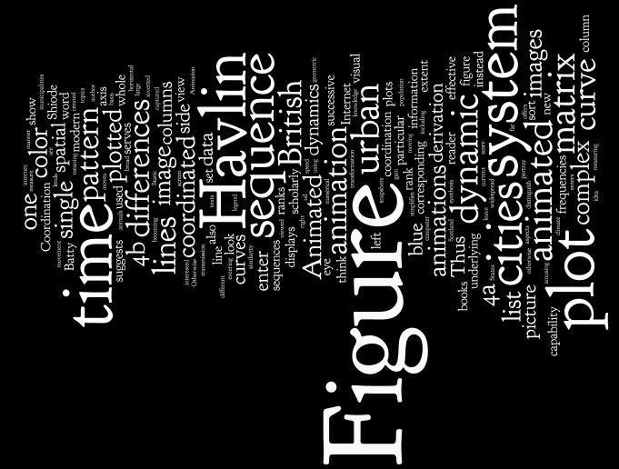
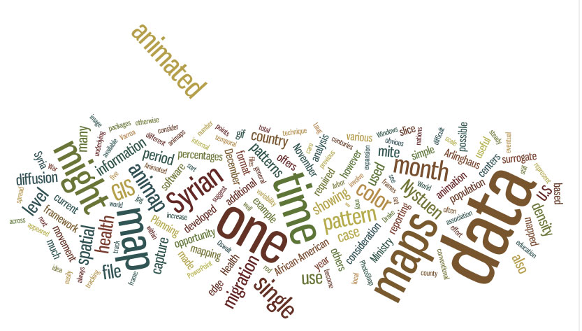
Animated
Time Lines: Coordination of Spatial and Temporal Information
Sandra
Arlinghaus, Michael Batty, and John Nystuen
|
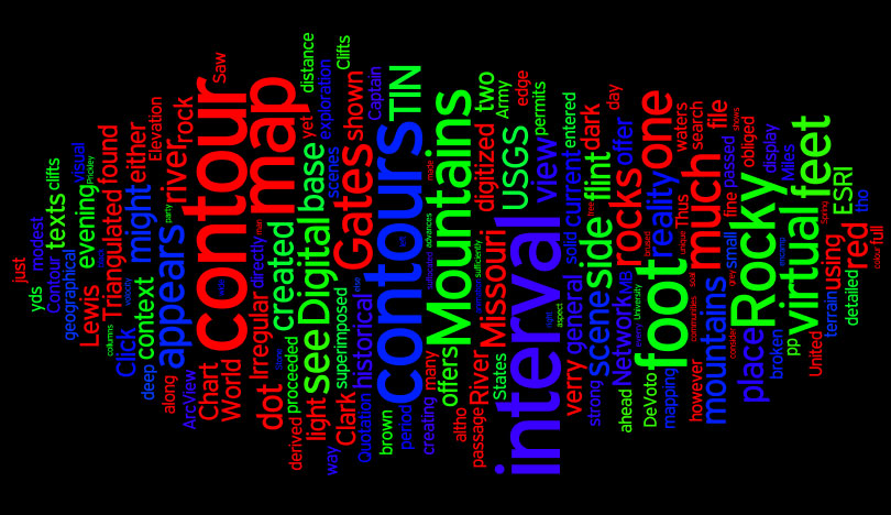
Lewis and Clark, 200
Years: A Visual Tribute to an Exploration
The
Gates of the Rocky Mountains
Sandra
Arlinghaus, Robert Haug, Ann Larimore
|
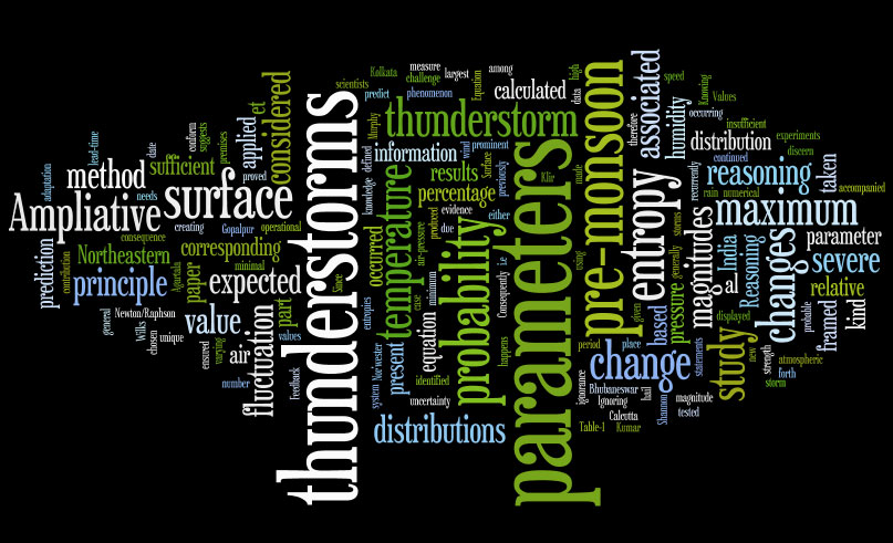
Viewing
the relative importance of some surface parameters associated with
pre-monsoon thunderstorms through Ampliative Reasoning
Sutapa
Chaudhuri and Surajit Chattopadhyay
|
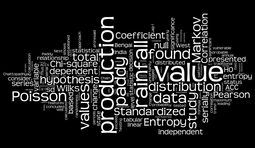
Dependence
of Production of Paddy on the Total Annual Rainfall: A Different
Approach
Surajit
Chattopadhyay
|
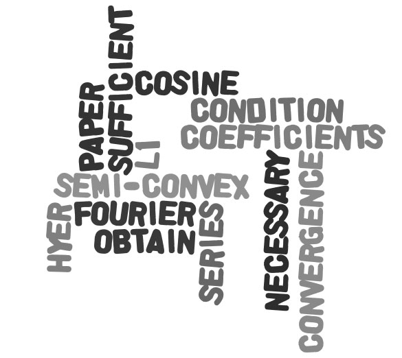
On
L1 Convergence of Modified Sine Sums
Kulwinder
Kaur
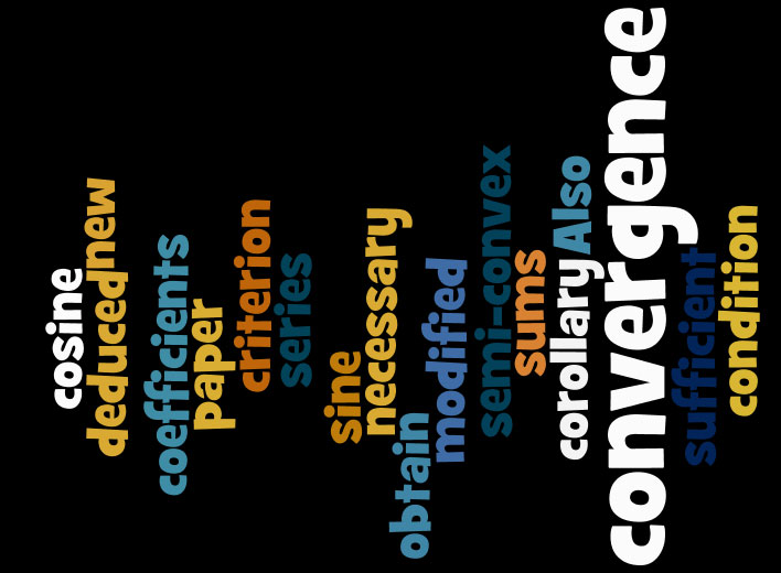
|
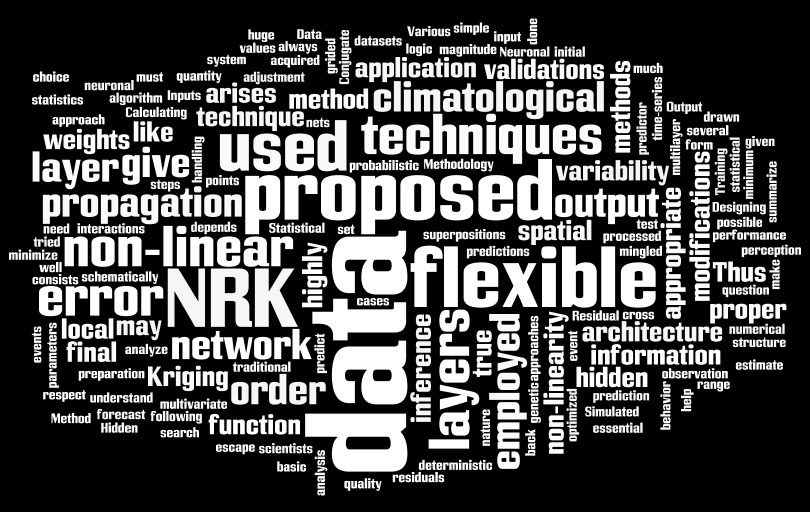
Combating
the Complexity in Spatial Data: A Neuronal Approach
Surjit
Chattopadhyay
|
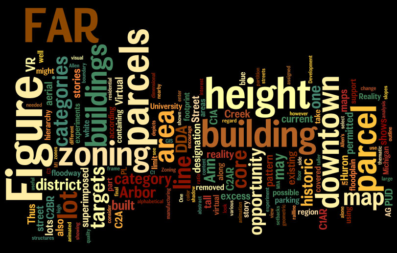
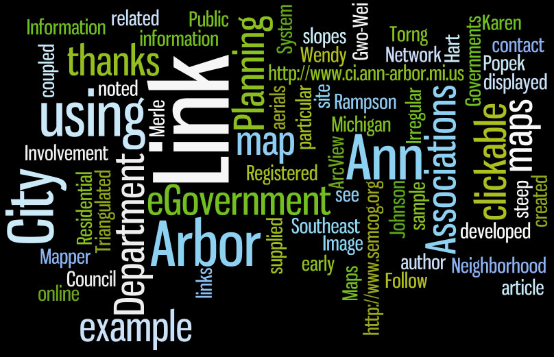
Ann
Arbor, Michigan: Virtual Downtown Experiments
Sandra
Lach Arlinghaus
|
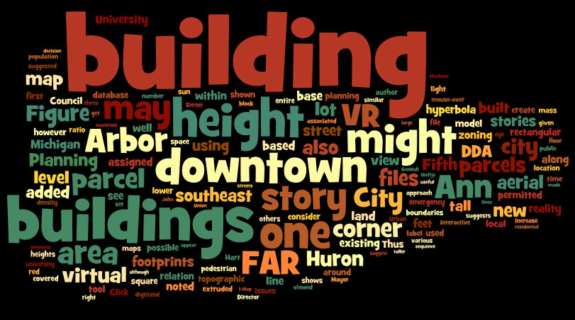
Ann
Arbor, Michigan: Virtual Downtown Experiments, Part II
Sandra
Lach Arlinghaus
|
Tornado
Siren Location: Ann Arbor, Michigan
Sandra
Lach Arlinghaus
|
Ann
Arbor, Michigan: Virtual Down Experiments, Part III
Taejung
Kwon, Adrien A. Lazzaro, Paul J. Oppenheim, Aaron Rosenblum
|
|
2002
|
2001
| Volume
XII, Number 1 |
Volume
XII, Number 2
|
Water Rustlers?
John
D. Nystuen

|
Spherical Measures
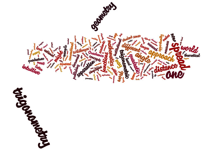
without Spherical Trigonometry
Waldo
Tobler
|
The Neglected Relation
Sandra
L. Arlinghaus and William C. Arlinghaus
|
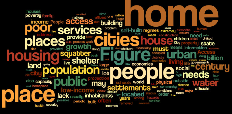
What's At Home?
Shelter for the Poor in Low Income Cities
John
D. Nystuen
|
Maps and
Decisions: Allen's Creek Floodplain, Opportunity or Disaster?
Sandra
Lach Arlinghaus
|
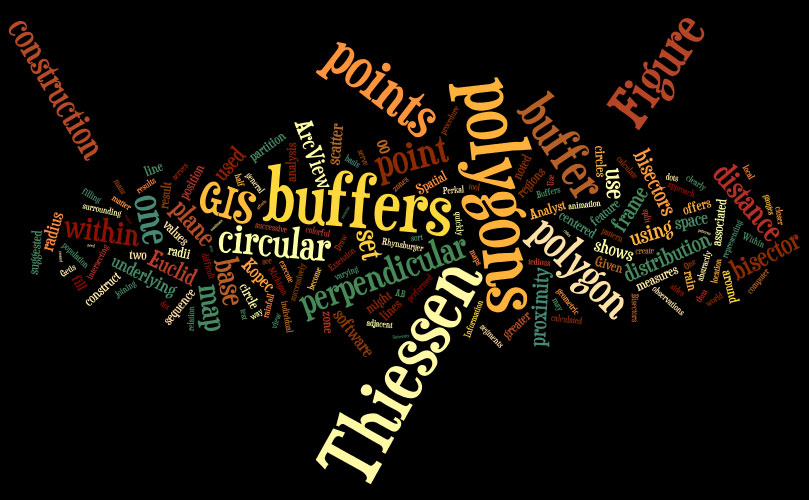
Base Maps, Buffers, and
Bisectors
Sandra
Lach Arlinghaus
|
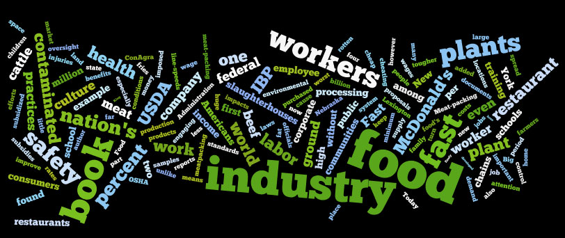
Fast Food Nation:
The Dark Side of the All-American Meal, by Eric Schlosser
Kameshwari
Pothukuchi, Book Reviewer
|
|
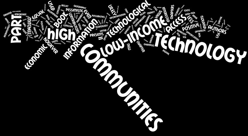
High Technology and
Low-Income Communities: Prospects for the Positive Use of
Advanced Information Technology, Donald A. Schon, Bish Sanyal, William
J. Mitchell
Richard
R. Wallace, Book Reviewer
|
|
|
2000
|
1999
|
Volume
X, Number 1
|
Volume
X, Number 2
|
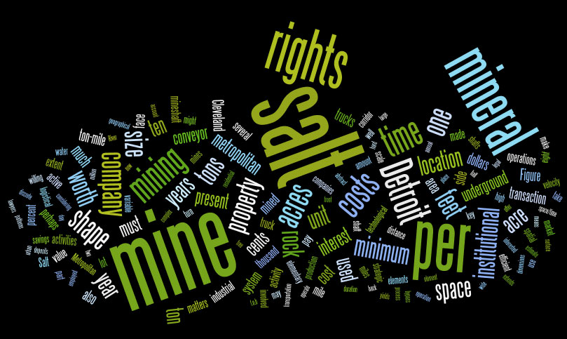
Metropolitan
Mining: Institutional and Scale Effects on the Salt Mines of
Detroit
John
D. Nystuen
|
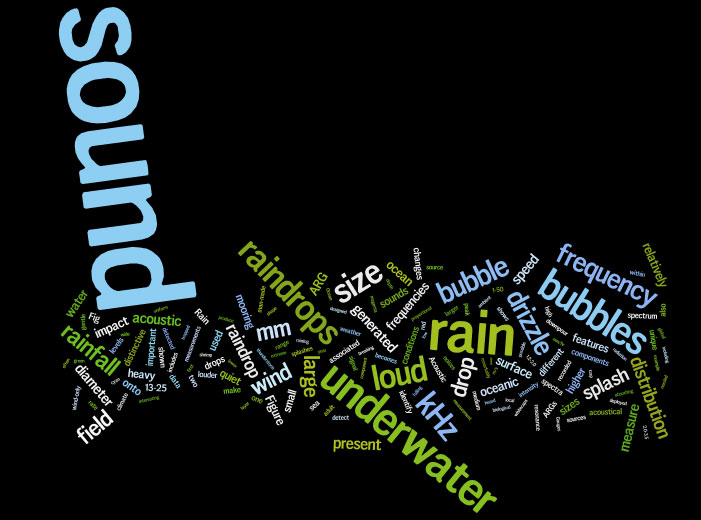
Listening to Raindrops
Jeffrey
A. Nystuen
|
Animaps III:
Color Straws, Color Voxels, and Color Ramps
Sandra
L. Arlinghaus and William C. Arlinghaus
|
A Map of Jackson,
Mississippi
Sandra
L. Arlinghaus
|
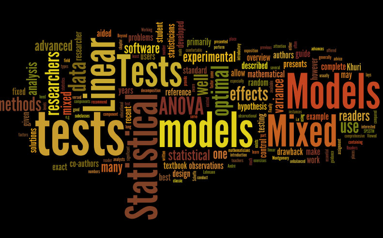
Statistical
Tests for Mixed Linear Models, by Andre I. Khuri, Thomas Mathew,
and Bimal K. Sinha.
Richard
Wallace, Book Reviewer
|
|
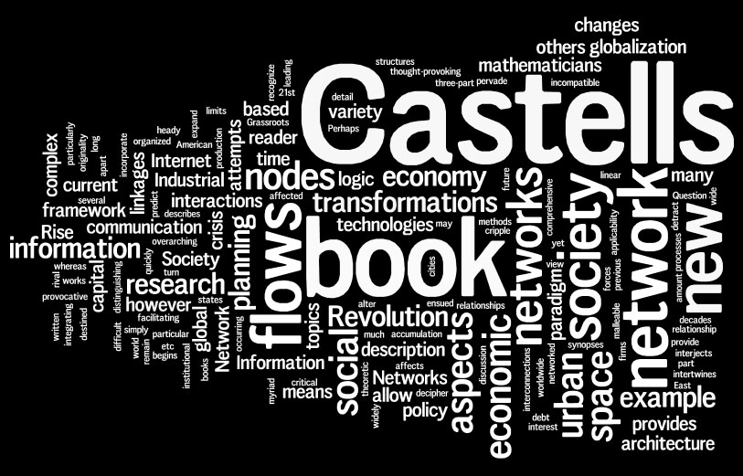
The
Rise of the Network Society, by Manuel Castells
Seema
Desai Iyer, Book Reviewer
|
|
|
1998
| Volume
IX, Number 1 |
Volume
IX, Number 2
|
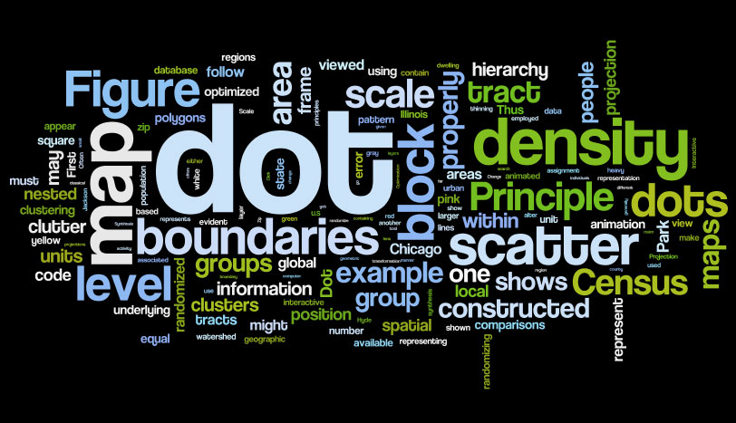
Animaps
Sandra L. Arlinghaus, William D. Drake, and John D. Nystuen with data
and other input from Audra Laug, Kris S. Oswalt, and Diana Sammataro
|
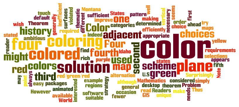
Animated
Four Color Theorem: Sample Map
Sandra Lach Arlinghaus
|
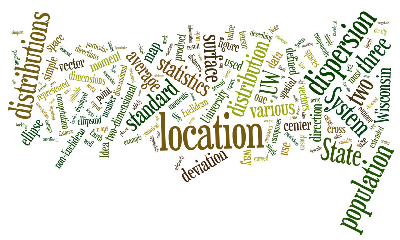
Spatial
Analysis, the Wisconsin Idea and the UW-System. The Use and Abuse
of Dispersion Statistics.
Frank E. Barmore (reprinted, in part, from The Wisconsin Geographer (with
permission)).
|
Animaps,
II
Sandra Lach Arlinghaus
|
Revitalizing
Maps or Images?
Sandra L. Arlinghaus and Ruben De la Sierra
|
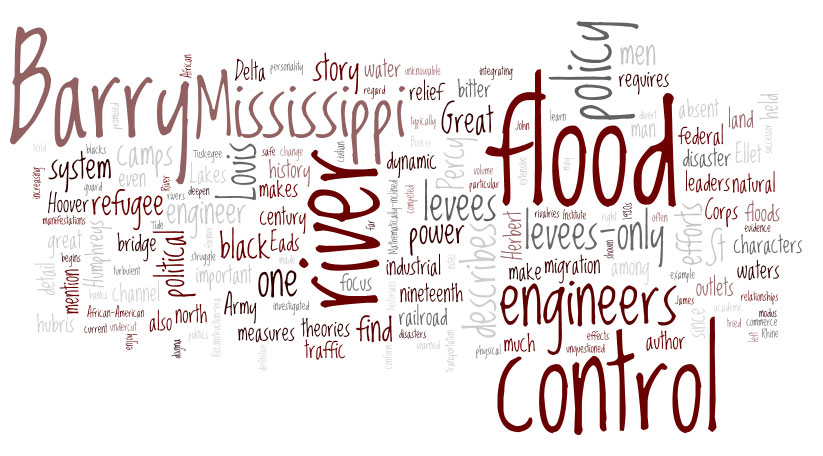
Rising
Tide: The Great Mississippi Flood of 1927 and How it Changed
America, by John M. Barry.
Daniel Albert, Book Reviewer
|
The
Universe Below by William J. Broad
John D. Nystuen, Book Reviewer
|
|
|
1997
|
1996
Volume
VII, Number 1.
|
Volume
VII, Number 2.
|
The Greening of Detroit,
1975-1992: Physical Effects of Decline
John D. Nystuen, Rhonda Ryznar, Thomas Wagner
Algebraic Aspects of Ratios
Sandra Lach Arlinghaus
U.S. Route 12 Buffer
Daniel Jacobs
|
Web Fractals: An Overview
Sandra Lach Arlinghaus
Part II. Elements of Spatial Planning. Theory.
Merging Maps: Node Labeling Strategies
Sandra Lach Arlinghaus
|
|
1995
Volume
VI, Number 1.
|
Volume
VI, Number 2.
|
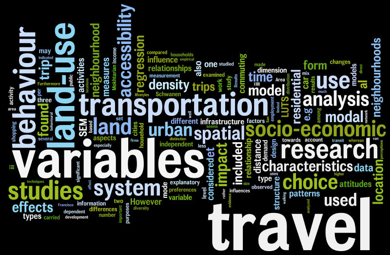
Motor Vehicle
Transport and Global Climate Change: Policy
Scenarios
Richard
Wallace
Discrete
Mathematics and Counting Derangements in Blind Wine Tastings
Sandra
L. Arlinghaus, William C. Arlinghaus, John D. Nystuen
|
Elements of Spatial
Planning: Theory. Part I.
Sandra
Lach Arlinghaus
|
|
1994
Volume
V, Number 1.
Available in TeX
|
Volume
V, Number 2.
Available in TeX
|
Getting
Infrastructure Built. Cleveland Infrastructure Team
Shares Secrets of Success.
Virginia Ainslie and Jack Licate
Center Here; Center There; Center, Center Everywhere
Frank E. Barmore
Equal-Area Venn Diagrams of Two Circles: Their Use with
Real-World Data
Barton R. Burkhalter
Los Angeles, 1994--A Spatial Scientific Study.
Sandra L. Arlinghaus, William C. Arlinghaus, Frank Harary, John D.
Nystuen
|
The
Paris Metro: Is its Graph Planar?
Sandra L. Arlinghaus, William C. Arlinghaus, Frank Harary
Interruption!
Sandra Lach Arlinghaus
Imperfections in the Uniform Plane. Reprint.
Michael F. Dacey
|
|
1993
Volume
IV, Number 1.
Available in TeX
|
Volume
IV, Number 2.
Available in TeX
|
Electronic Journals:
Observations Based on Actual Trials,
1987-Present
Sandra L. Arlinghaus and Richard H.
Zander
Wilderness As Place
John D. Nystuen
The Earth Isn't Flat. And It
Isn't Round Either:
Some Significant and Little Known
Effects of the Earth's Ellipsoidal
Shape
Frank E. Barmore
Micro-cell Hex-nets?
Sandra Lach Arlinghaus
Sum Graphs and Geographic Information
Sandra L. Arlinghaus, William C.
Arlinghaus, Frank Harary
 |
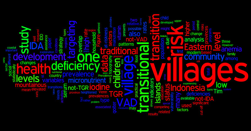
Villages in Transition: Elevated
Risk of Micronutrient Deficiency
William D. Drake, S. Pak, I. Tarwotjo,
Muhilal, J. Gorstein, R. Tilden
 |
|
1992
| Volume
III, Number 1. |
Volume
III, Number 2.
|
Computing
Areas of Regions with Discretely Defined Boundaries
Harry L. Stern
The Quadratic World of Kinematic Waves
Sandra L. Arlinghaus, John D. Nystuen, Michael J. Woldenberg
|
What
Are Mathematical Models and What Should They Be? Reprint.
Frank Harary
Where Are We? Comments on the Concept of Center of Population
Frank E. Barmore
The Pelt of the Earth: An Essay on Reactive Diffusion
Sandra L. Arlinghaus and John D. Nystuen
|
|
1991
Volume
II, Number 1.
Available in TeX
|
Volume
II, Number 2.
Available in TeX
|
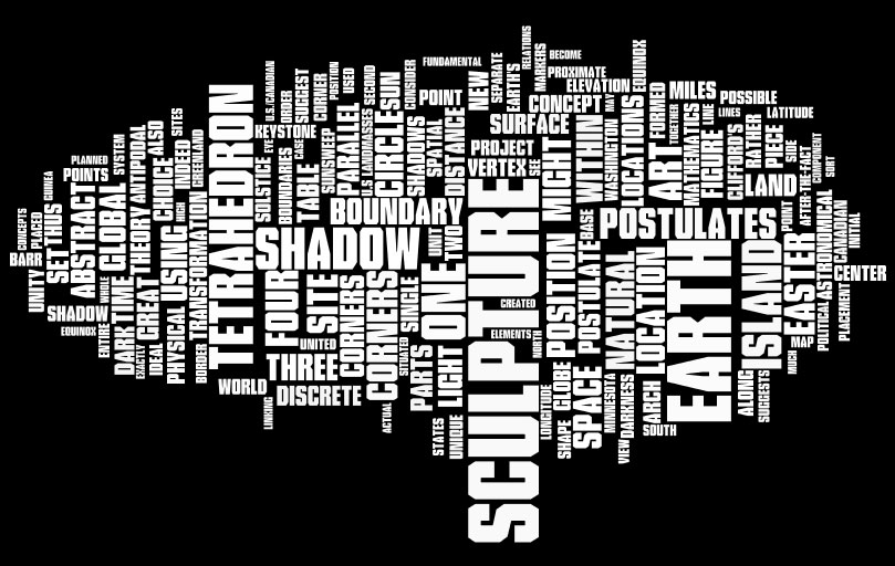
The Spatial
Shadow: Light and Dark--Whole and Part
Sandra
L. Arlinghaus, David Barr, John D. Nystuen
|
Proof, Truth, and
Confusion, Reprint,
The
Nora and Edward Ryerson Lecture at The University of Chicago in 1982
Saunders
Mac Lane
Digital
maps and Data Bases: Aesthetics versus Accuracy
Robert
F. Austin
|
|
1990
Volume
I, Number 1.
Available in TeX |
Available in TeX
|
|
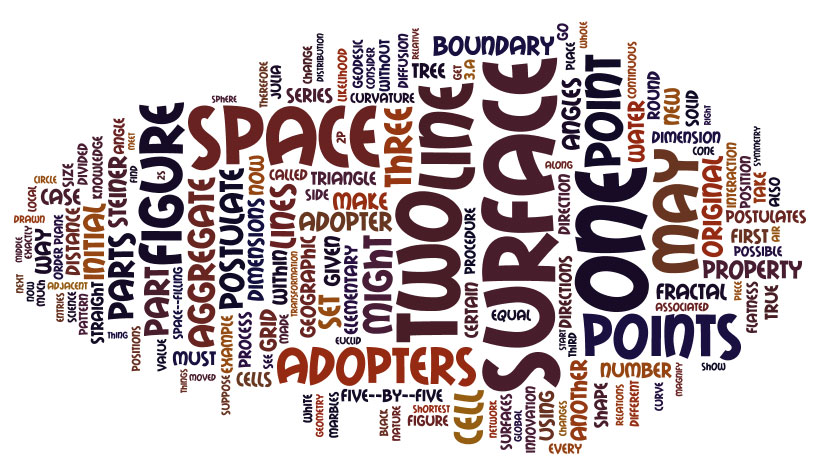
Postulates
of the Science of Space, Reprint
William
Kingdon Clifford
Beyond
the Fractal
Sandra
Lach Arlinghaus
Groups,
Graphs, and God
William
C. Arlinghaus
|
A City of Strangers: Spatial
Aspects of Alienation in the Detroit
Metropolitan Region
John D. Nystuen
Scale and Dimension: Their Logical Harmony
Sandra Lach Arlinghaus
Parallels Between Parallels
Sandra Lach Arlinghaus
The Hedetniemi Matrix Sum: A Real-world Application
Sandra L. Arlinghaus, William C. Arlinghaus, and John D. Nystuen
Fractal Geometry of Infinite Pixel Sequences: "Super-definition"
Resolution
Sandra Lach Arlinghaus
|
|
|


