Volume II, Book 1:
Scientific, Planning, Humanitarian, and Teaching Applications, From DevInfo to Google Earth
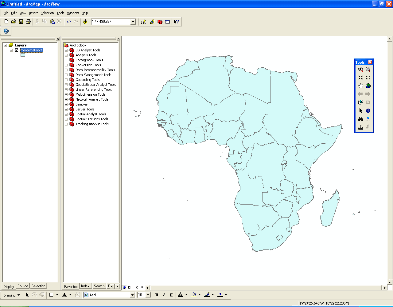
ASSESSMENT--AFRICA
Download and install "export shape to KML" plug-in for ArcMap 9.2 plus.
- Zipped file
- Link to external download page
FIGURE 4.1: Animation. The goal of this sequence of images is to show the reader how to create a choropleth map (ranged fill by data interval) from the edited .apr file extracted originally from DevInfo. Try right-clicking in selected places to find shortcuts, for example, in coloring the outline of symbols. This package is rich in detail.
 |
| Set of choropleth maps for all available indicators, mxd format |
Download
and install "export shape to KML" plug-in for ArcMap 9.2 plus.
|
FIGURE 4.1: Static frames of the
animation. The
goal of this sequence of images is to show the reader how to create a
choropleth map (ranged fill by data interval) from the edited .apr file
extracted originally from DevInfo.
Try right-clicking in selected places to find shortcuts, for example,
in coloring the outline of symbols. This package is rich in
detail.
 FIGURE 4.1a: Open the shape file formed in Section 3 in ArcMap. Click on the "plus" sign to navigate to the projected shape file. The shape file was created from the edited .apr file. The ArcToolbox is left showing to indicate to the reader that the power of the GIS software might be employed to make many other maps from the data. |
 FIGURE 4.1b: Double-click on the name of the shape file to launch the "Layer Properties" window. |
 FIGURE 4.1c: Click on "Quantities." Choose a "Color Ramp." |
 FIGURE 4.1d: Pull down the "Value" field. Choose "Times1000." This is the data set that will be used to color the map in graduated intervals. |
 FIGURE 4.1e: Now the "Layer Properties" windows shows that 5 classes will be used to color the map and that breaks between the classes will be along lines of Natural Breaks (Jenks algorithm). One could choose a variety of ways of classifying the data and it is important to know that the method of classification selected greatly influences the map representation. Analyses using the evidence of maps should always consider carefully the method by which breaks are to be made. |
 FIGURE 4.1f: Choose 8 classes instead of the default 5. Four is always sufficient to make distinctions (by the Four-Color Theorem) by more intervals may be nice when a graduated color scheme, where the intensity of color corresponds directly to the intensity of the data, is employed. |
 FIGURE 4.1g: Now the "Layer Properties" window appears as above. Double-click on a color swatch in the "Symbol" column. |
 FIGURE 4.1h: The "Symbol Selector" window appears. Click on the "Outline Color" pull down. |
 FIGURE 4.1i: A small window with colors pops up. |
 FIGURE 4.1j: Click on the words "No Color." |
 FIGURE 4.1k: Now the "Outline Color" box has no color in it (previously it had had a dark gray inside it). Click the "OK" button. |
 FIGURE 4.1l: Notice that there is now no outline around the lightest color swatch. Repeat this process for each swatch. Or, right-click on a symbol and choose to do this procedure for "All Symbols." The latter step is especially useful when there are many symbols. |
 FIGURE 4.1m: Once all the outlines are removed, the range of symbols appears as above. |
 FIGURE 4.1n: Click on the "Apply" button. Now the color is applied to the underlying map (without boundaries--boundaries clutter a 3D representation of the data). Then, once the map appears to be colored as desired, click on the "OK" button. |
 FIGURE 4.1o: A choropleth map made from DevInfo data brought through the interface of suitable ESRI software. Once one is made for each shape file, they can all be saved as a group as a single .mxd file (native format for ArcMap) for future reference. |
| Set of choropleth maps for all available indicators, mxd format |
Download
and install "export shape to KML" plug-in for ArcMap 9.2 plus.
|
TABLE OF CONTENTS
- INTRODUCTION: Assessment, Analysis, and Action--Community Systems Foundation Approach
- ASSESSMENT:
Software
used in analysis:
- DevInfo
5.0: http://www.devinfo.org/
- Adobe® PhotoShop and ImageReady
- Adobe® DreamWeaver
- ESRI:
- ArcView® 3.2
- ArcGIS® 9.2
- ArcCatalog®
- ArcMap®
- Google Earth®
Author
affiliations:
- Arlinghaus, Sandra Lach. Adjunct Professor of Mathematical Geography and Population-Environment Dynamics, School of Natural Resources and Environment, The University of Michigan. Executive Committee Member (Secretary) Community Systems Foundation, sarhaus@umich.edu, http://www-personal.umich.edu/~sarhaus/
- Naud, Matthew. Environmental Coordinator and Assistant Emergency Manager, Systems Planning Unit, City of Ann Arbor
- Oswalt, Kris S. President, Community Systems Foundation
- Rayle, Roger. Scio Residents for Safe Water
- Lars Schumann. Manager and
Research Computer Specialist, University of Michigan 3D Laboratory at
the Duderstadt Center; also of Cornell University, Ithaca NY
- Arlinghaus, William C. Professor of Mathematics and
Computer Science, Lawrence Technological University, Southfield, MI
- Arlinghaus, William E. General Manager, Chapel Hill Memorial Gardens, Grand Rapids, MI
- Batty, Michael. Bartlett Professor of Planning and Director of the Centre for Advanced Spatial Analysis (CASA) at University College London
- Haug, Robert. Ph.D. Candidate, Middle Eastern and
North African Studies, The University of Michigan
- Larimore, Ann Evans. Professor Emerita, Residential College, The University of Michigan
- Longstreth, Karl. Head, Map Library, The
University of Michigan
- Nystuen, Gwen L. Parks Advisory
Commission; Environmental Commission;
City of Ann Arbor
- Nystuen, John D. Professor Emeritus of Geography and
Urban Planning, Taubman College of Architecture and Urban Planning, The
University of Michigan. Chief Executive Officer, Community
Systems
Foundation
Published by:
Institute of Mathematical Geography
http://www.imagenet.org
http://deepblue.lib.umich.edu/handle/2027.42/58219
August, 2008.
Copyright by Sandra Arlinghaus, all rights reserved.