Volume II, Book 1:
Scientific, Planning, Humanitarian, and Teaching Applications, From DevInfo to Google Earth
ASSESSMENT--AFRICA
FIGURE 2.4: Animation. The goal of this sequence of images is to show the reader how to retrieve, in ArcView 3.2/3.3, the database, or "Attribute File," associated with a single shape file.
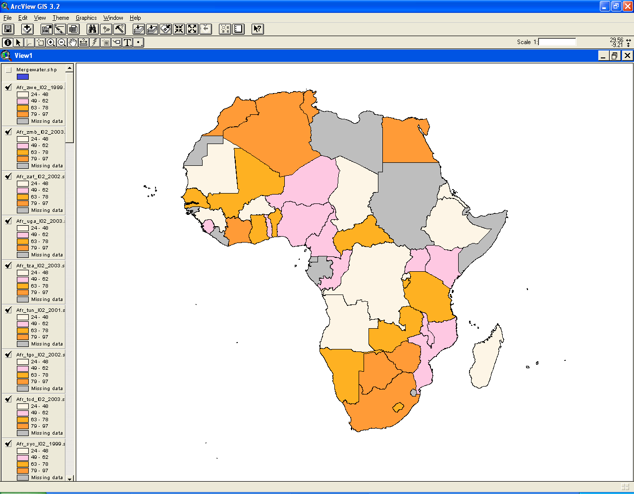 |
FIGURE 2.4:
Static frames of the animation. The
goal of this sequence of images is to show the reader how to retrieve,
in
ArcView 3.2/3.3, the database, or "Attribute File," associated with a
single shape file.
 . .FIGURE 2.4a: The screen that remains from the previous sequence. |
 FIGURE 2.4b: Click on the check box to put a check in it. Now the map is colored a single, solid color. Notice that the other layers are still "selected." |
 FIGURE 2.4c: Now click on the layer, "mergewater.shp" in the list of layers. That is, click on it NOT in the check box. Notice that now that layer is "selected" and the others are not. The reason for "selecting" it is so that we can retrieve information about it, rather than about some other selected layer. |
 FIGURE 2.4d: Move the cursor over the button with a pop-up label on it called "Open Theme Table." There are a number of equivalent terms for the database that underlies a shape file. Often software uses these terms interchangeably without notifying the user. Click on this button (it is above the word "Theme", in yellow, in the image above. |
 FIGURE 2.4e: What appears is the database associated with the shape file that was selected. Notice that the column headings are italicized, indicating that the database is NOT in "edit" mode. |
TABLE OF CONTENTS
- INTRODUCTION: Assessment, Analysis, and Action--Community Systems Foundation Approach
- ASSESSMENT:
Software
used in analysis:
- DevInfo
5.0: http://www.devinfo.org/
- Adobe® PhotoShop and ImageReady
- Adobe® DreamWeaver
- ESRI:
- ArcView® 3.2
- ArcGIS® 9.2
- ArcCatalog®
- ArcMap®
- Google Earth®
Author
affiliations:
- Arlinghaus, Sandra Lach. Adjunct Professor of Mathematical Geography and Population-Environment Dynamics, School of Natural Resources and Environment, The University of Michigan. Executive Committee Member (Secretary) Community Systems Foundation, sarhaus@umich.edu, http://www-personal.umich.edu/~sarhaus/
- Naud, Matthew. Environmental Coordinator and Assistant Emergency Manager, Systems Planning Unit, City of Ann Arbor
- Oswalt, Kris S. President, Community Systems Foundation
- Rayle, Roger. Scio Residents for Safe Water
- Lars Schumann. Manager and
Research Computer Specialist, University of Michigan 3D Laboratory at
the Duderstadt Center; also of Cornell University, Ithaca NY
- Arlinghaus, William C. Professor of Mathematics and
Computer Science, Lawrence Technological University, Southfield, MI
- Arlinghaus, William E. General Manager, Chapel Hill Memorial Gardens, Grand Rapids, MI
- Batty, Michael. Bartlett Professor of Planning and Director of the Centre for Advanced Spatial Analysis (CASA) at University College London
- Haug, Robert. Ph.D. Candidate, Middle Eastern and
North African Studies, The University of Michigan
- Larimore, Ann Evans. Professor Emerita, Residential College, The University of Michigan
- Longstreth, Karl. Head, Map Library, The
University of Michigan
- Nystuen, Gwen L. Parks Advisory
Commission; Environmental Commission;
City of Ann Arbor
- Nystuen, John D. Professor Emeritus of Geography and
Urban Planning, Taubman College of Architecture and Urban Planning, The
University of Michigan. Chief Executive Officer, Community
Systems
Foundation
Published by:
Institute of Mathematical Geography
http://www.imagenet.org
http://deepblue.lib.umich.edu/handle/2027.42/58219
August, 2008.
Copyright by Sandra Arlinghaus, all rights reserved.