Volume II, Book 1:
Scientific, Planning, Humanitarian, and Teaching Applications, From DevInfo to Google Earth
ASSESSMENT--AFRICA
FIGURE 2.3: Animation. The goal of this sequence of images is to show the reader how to use, in ArcView 3.2/3.3, the Geoprocessing extension to merge layers to a single shape file.
.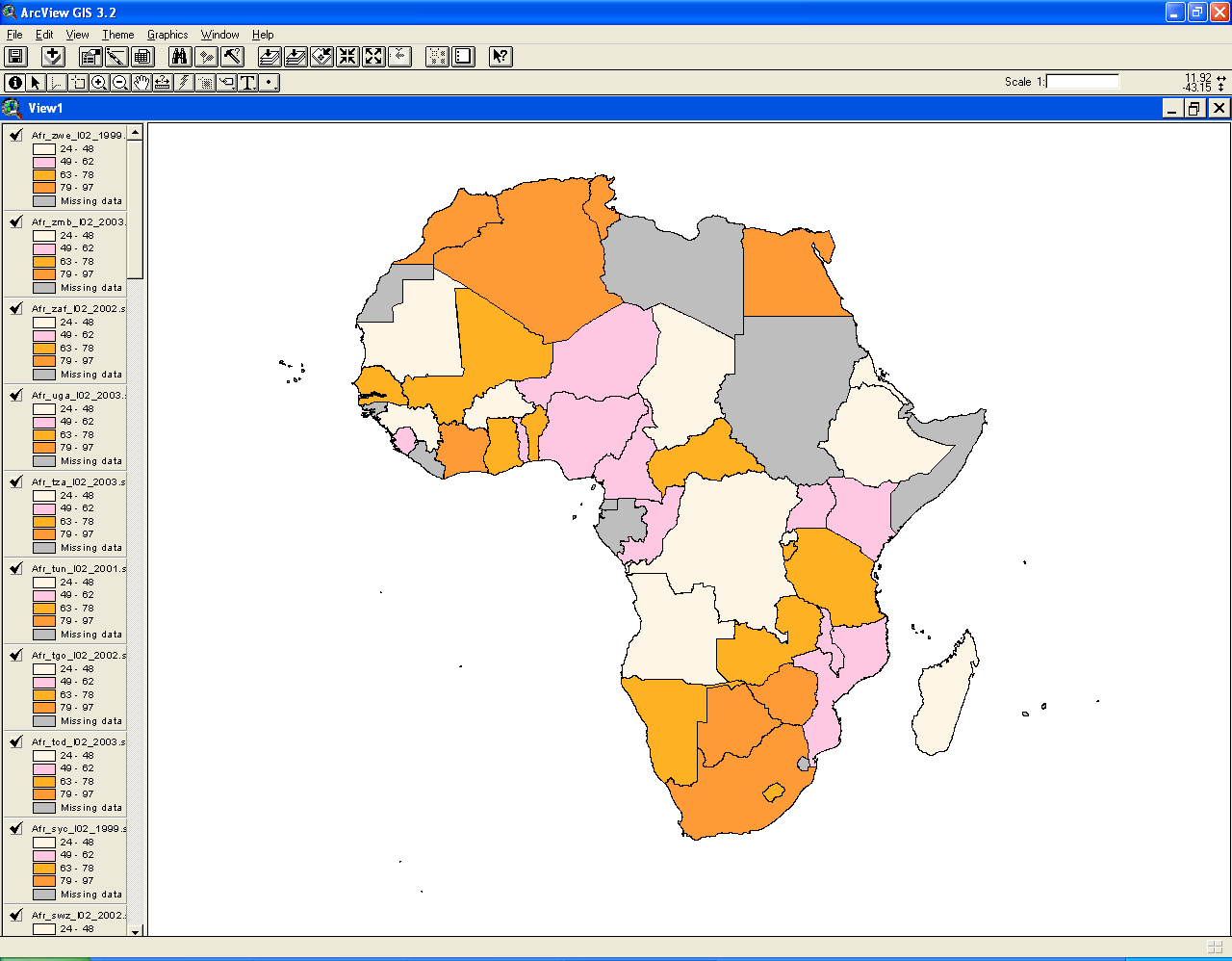 |
FIGURE 2.3:
Static frames of the animation. The
goal of this sequence of images is to show the reader how to use, in
ArcView 3.2/3.3, the Geoprocessing extension to merge layers to a
single shape file.
 .. ..FIGURE 2.3a: The screen that remains from the previous sequence, with the Geoprocessing extension enabled. Be careful NOT to click on the set of layers on the left (to do so, would de-select the group). Generally, to select more than one item in ArcView, click on it and hold down the "shift" key. In these versions of ArcView, the "shift" key works as the "control" key generally does in Windows, allowing selection of multiple items with some gaps in the list. |
 FIGURE 2.3b: Pull down the "View" menu and open up the "GeoProcessing Wizard." |
 FIGURE 2.3c: From the list that appears, click on the radio button next to "Merge themes together." This action will put a check mark in the circle (only one of these can be selected at a time. Then click the "Next" button. |
 FIGURE 2.3d: The screen now appears as in the image above. |
 FIGURE 2.3e: Click on the top theme in the box in item "1)". Hold down the "shift" key, and continue selecting all layers (they turn black when selected). Leave the "Use fields from:" as it is once you have made your selections. In item "2)" click on the folder icon button to navigate to where you wish to store the output file. |
 FIGURE 2.3f: Once the folder button is clicked on, a new window comes up. Navigate to where you wish to store the output file and click "OK." Then click "Finish" on the window that remains. |
 FIGURE 2.3g: Once again, the map appears as before. There is, however, a new layer at the top of the layer list on the left. That is the one that was created using the GeoProcessing Wizard. |
TABLE OF CONTENTS
- INTRODUCTION: Assessment, Analysis, and Action--Community Systems Foundation Approach
- ASSESSMENT:
Software
used in analysis:
- DevInfo
5.0: http://www.devinfo.org/
- Adobe® PhotoShop and ImageReady
- Adobe® DreamWeaver
- ESRI:
- ArcView® 3.2
- ArcGIS® 9.2
- ArcCatalog®
- ArcMap®
- Google Earth®
Author
affiliations:
- Arlinghaus, Sandra Lach. Adjunct Professor of Mathematical Geography and Population-Environment Dynamics, School of Natural Resources and Environment, The University of Michigan. Executive Committee Member (Secretary) Community Systems Foundation, sarhaus@umich.edu, http://www-personal.umich.edu/~sarhaus/
- Naud, Matthew. Environmental Coordinator and Assistant Emergency Manager, Systems Planning Unit, City of Ann Arbor
- Oswalt, Kris S. President, Community Systems Foundation
- Rayle, Roger. Scio Residents for Safe Water
- Lars Schumann. Manager and
Research Computer Specialist, University of Michigan 3D Laboratory at
the Duderstadt Center; also of Cornell University, Ithaca NY
- Arlinghaus, William C. Professor of Mathematics and
Computer Science, Lawrence Technological University, Southfield, MI
- Arlinghaus, William E. General Manager, Chapel Hill Memorial Gardens, Grand Rapids, MI
- Batty, Michael. Bartlett Professor of Planning and Director of the Centre for Advanced Spatial Analysis (CASA) at University College London
- Haug, Robert. Ph.D. Candidate, Middle Eastern and
North African Studies, The University of Michigan
- Larimore, Ann Evans. Professor Emerita, Residential College, The University of Michigan
- Longstreth, Karl. Head, Map Library, The
University of Michigan
- Nystuen, Gwen L. Parks Advisory
Commission; Environmental Commission;
City of Ann Arbor
- Nystuen, John D. Professor Emeritus of Geography and
Urban Planning, Taubman College of Architecture and Urban Planning, The
University of Michigan. Chief Executive Officer, Community
Systems
Foundation
Published by:
Institute of Mathematical Geography
http://www.imagenet.org
http://deepblue.lib.umich.edu/handle/2027.42/58219
August, 2008.
Copyright by Sandra Arlinghaus, all rights reserved.