3D Atlas of Ann Arbor, 3rd Edition
Editor and Principal
Author, Sandra
Lach Arlinghaus, Ph.D.
with Lauren Leigh Hoffman, Juan Sergio Ponce de Leon,
Andrew Walton.
With support from Lars Schumann, Manager, 3D Laboratory,
Duderstadt Center, The University of Michigan.
Also, see credits at bottom of homepage.
Copyright
2007, Institute of Mathematical Geography or by
authors of documents.
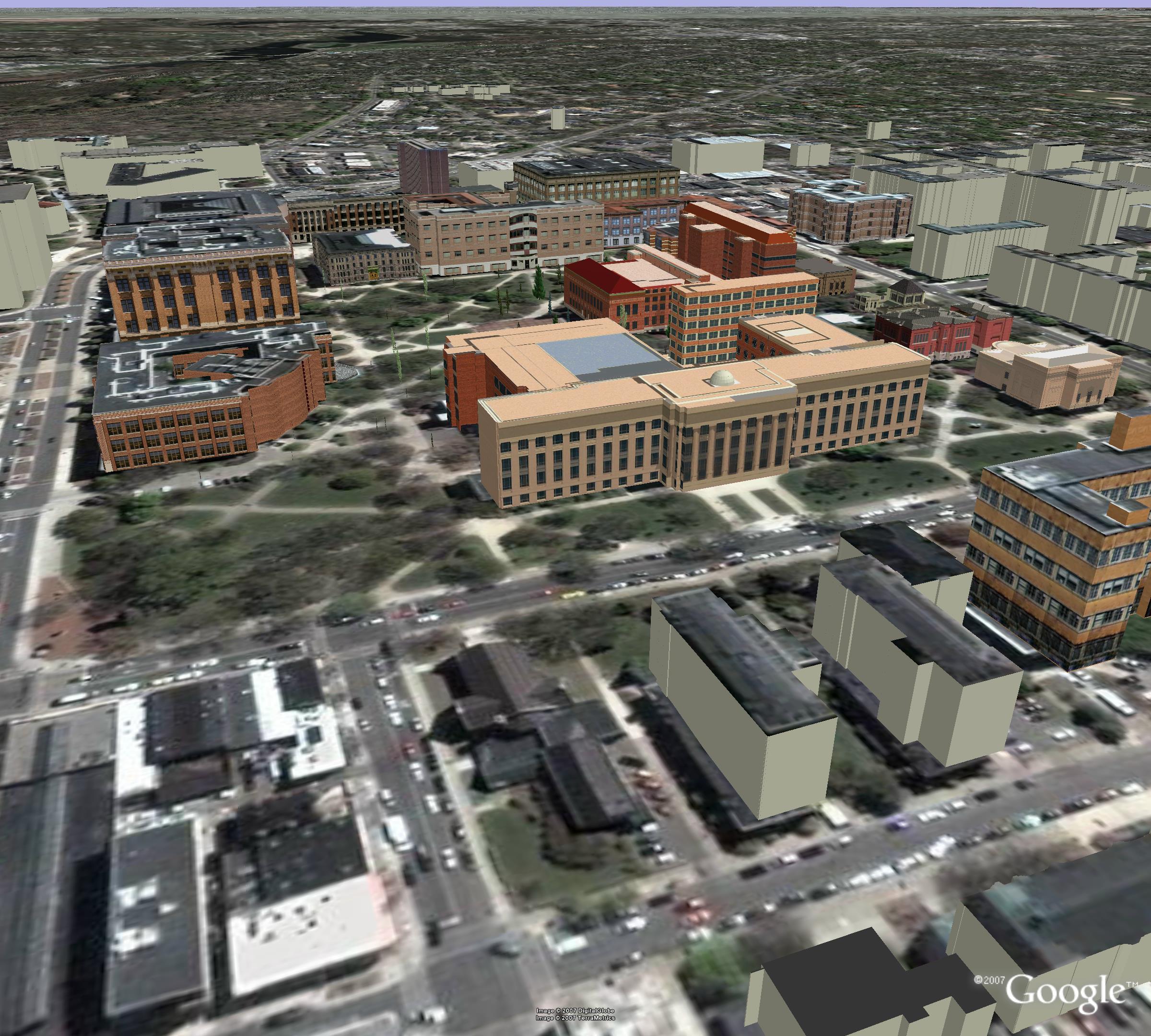
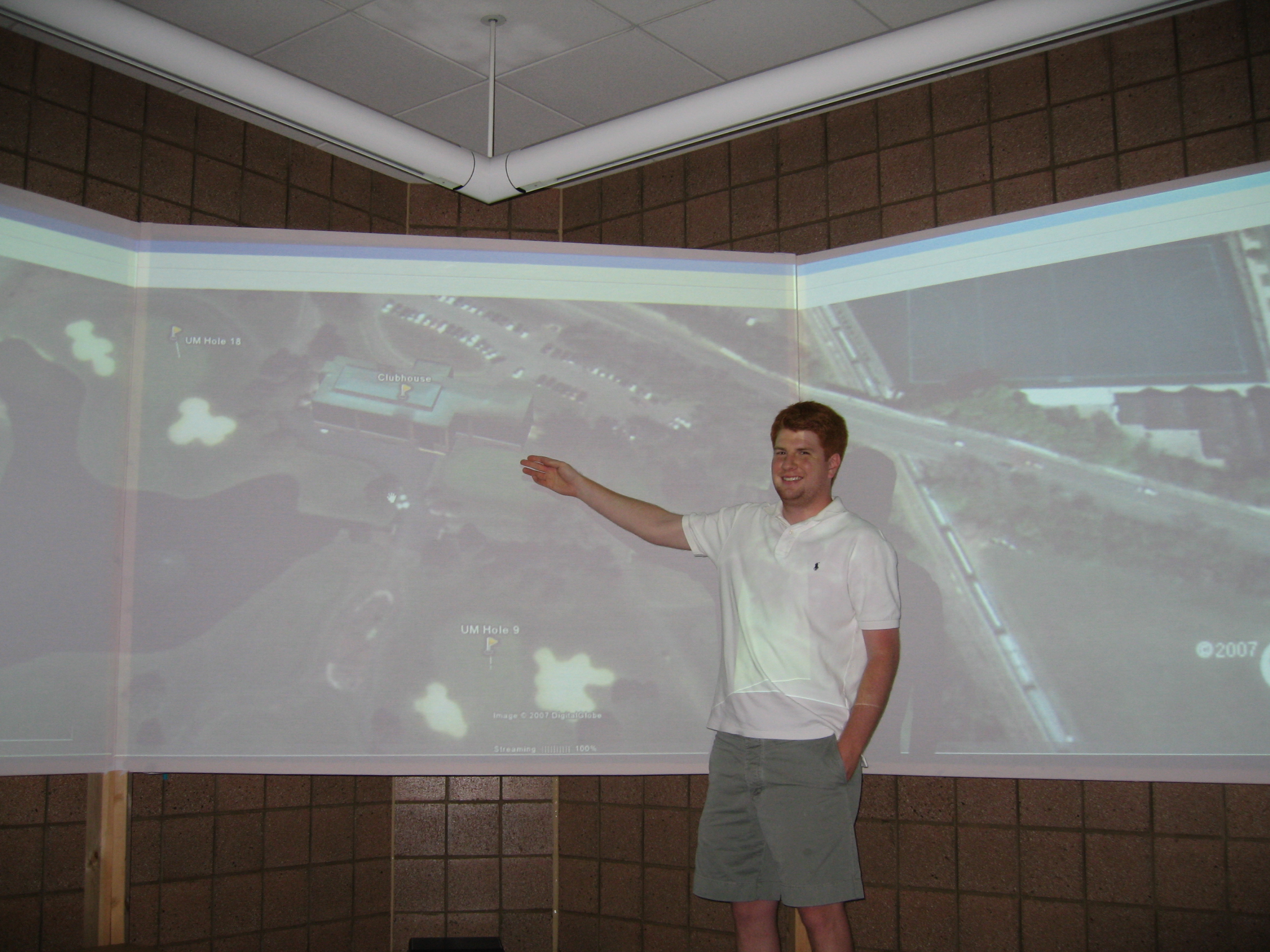
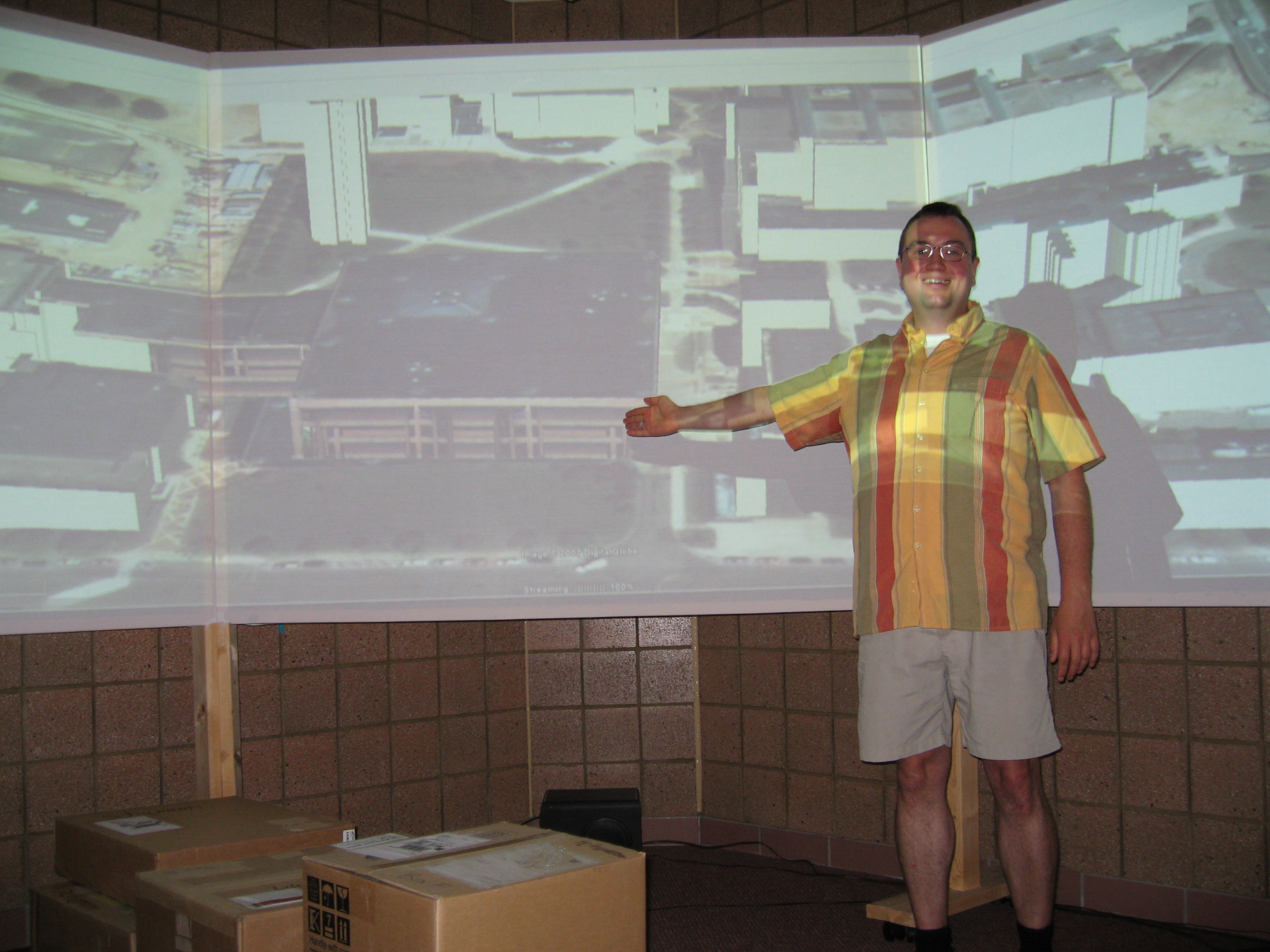
This edition of the 3D Atlas of Ann Arbor contains virtual reality models for the entire city of Ann Arbor that are geo-referenced to work with Google Earth® and rest in relation to the underlying terrain in that software. There is geometry for just under 25,000 structures and there are many textured models. The models run in real time and may all be loaded simultaneously (given good hardware) to have a view of the broad context of the entire city while navigating different elements of the virtual Ann Arbor. The user of this Atlas should have, at least, downloaded a free, current version of Google Earth® and have it running on his/her computer desktop. Then, all that is required to launch the models in Google Earth® is to click on the links to various .kmz files throughout the Atlas. Readers are shown static screen shots of the dynamic files so they can get a rough idea of what should come up. Please, however, do not assume that the static image says it all--think of it as a picture on a cereal box---as a mere indication of what is inside!
- All University of Michigan buildings are included
- All buildings have roof textures
- All buildings have basements so there is no "floating" of buildings
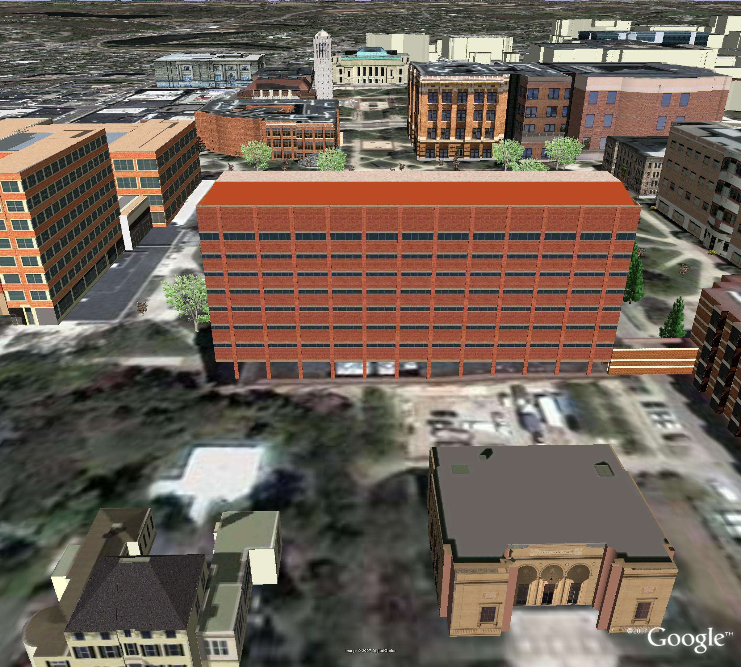
- 56 buildings are fully-textured
- The remaining partially textured buildings are split into components in relation to a textured anchor building and these are labeled using placemarks so the reader knows the names of buildings while navigating the scene.
- There are features present in addition to
buildings: songs (music files), vegetation, golf
course, insertion of files from the Google 3D Warehouse.
- All buildings in the Downtown Development Authority (DDA) are included:
- All buildings have height set in accordance with information from the Planning Department of the City of Ann Arbor.
- 24 blocks have fully-textured buildings
- A tailored DDA file is present so that the 24 textured blocks fit correctly within the full non-textured (but with correct height) DDA.
- All footprints of buildings outside the university and
outside the DDA have been extruded to an arbitrary height
and have been geo-referenced and set properly against
terrain in Google Earth®.
 |
 |