| Building
Information |
Google SketchUp® file |
Google Earth®
file |
|
| CENTRAL CAMPUS,
THE UNIVERSITY OF MICHIGAN |
|||
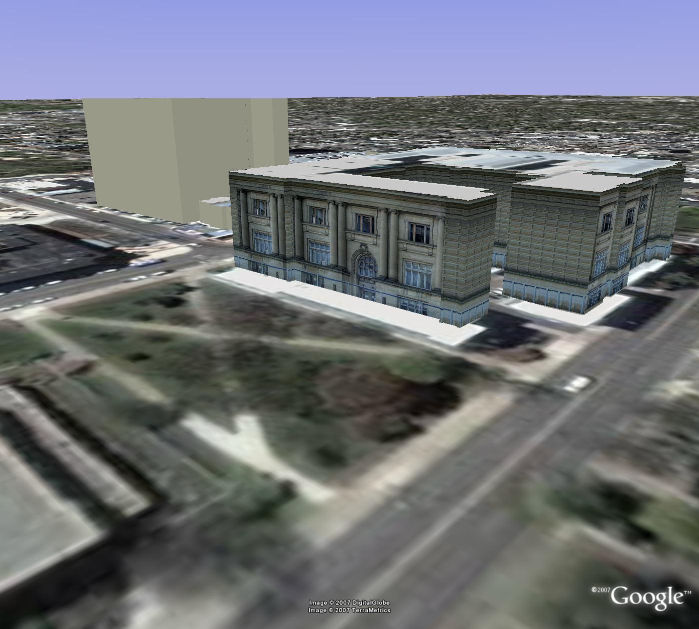
| Angell Hall.
Angell Hall dominates the view of the central campus
from State Street. The stately columns often serve as a
landmark to characterize the university; 435
S.State St Ann Arbor, MI 48109-1003. |
skp | kmz | |
| Mason Hall.
This building is part of the Angell Hall Complex and is
best when viewed with the files for Angell Hall, Tisch
Hall, and Haven Hall. 432 S. State Street, Ann Arbor,
MI, 48109-1329 |
skp | kmz | |
| Tisch Hall.
Building in the Angell Hall Complex that fills in
between older buildings. This file is best viewed in
conjunction with the files for Angell Hall, Mason Hall,
and Haven Hall. 435 S. State St., Ann Arbor, MI
48109-1003 |
skp | kmz | |
| Haven Hall.
This building is part of the Angell Hall Complex and is
best when viewed in conjunction with files for Angell
Hall, Mason Hall, and Tisch Hall. 505 South State Street
Ann Arbor, MI 48109-1045 |
skp | kmz | |
| Hatcher Library, North. The Hatcher Library is often called simply the "Graduate Library." It is composed of two connected parts: the north part is substantially older than the south part. 920 North University, Ann Arbor, MI 48109-1205 | skp | kmz | |
| Hatcher Library, South. The Hatcher Library is often called simply the "Graduate Library." It is composed of two connected parts: the north part is substantially older than the south part. 920 North University, Ann Arbor, MI 48109-1205 | skp | kmz | |
| Shapiro Library. The Shapiro Undergraduate Library is often called the "UGLI"--not for its appearance (nor as a description of desire to study) but simply as an acronym for "UnderGraduate LIbrary." 919 South University, Ann Arbor, MI 48109-1185 | skp |
kmz |
|
| Museum of Art. Changing exhibits have delighted and educated generations of Michigan students and their families as well as the larger Ann Arbor and midwestern community, and beyond. 525 S. State St., Ann Arbor, MI 48109 | skp |
kmz |
|
| Tappan Hall. This building at the south edge of the "Diag" is named for the first president of the university. | skp |
kmz |
|
| President's House. This campus home for the sitting President of The University of Michigan, currently Mary Sue Coleman, sits at the southern edge of the "Diag" on South University. The northern edge of the "Diag" lies on North University and the eastern edge lies along bot President's House, South University Ave., Ann Arbor, MI 48109 | skp |
kmz |
|
| Clements
Library. Located on the South edge of the
Diag, this building houses a wide variety of rare and
unusual book collections. 909 S. University, Ann Arbor,
MI 48109 |
skp |
kmz |
|
| West Hall. This building at the southeast corner of the "Diag" serves as a portal (through its arched passageway) to the commercial strip along South University Avenue just to the east. 1085 S. University Ave., Ann Arbor, MI 48109-1107 | skp | kmz | |
| Randall Laboratory. Located on the east side of the "Diag." 450 Church Street, Ann Arbor, MI 48109-1040 | skp | kmz | |
| Dana Building. Model by Lauren Leigh Hoffman. This building houses the School of Natural Resources and Environment. It is located near the northeast corner of the Diag. 440 Church Street, Ann Arbor, MI 48109-1041 | skp | kmz | |
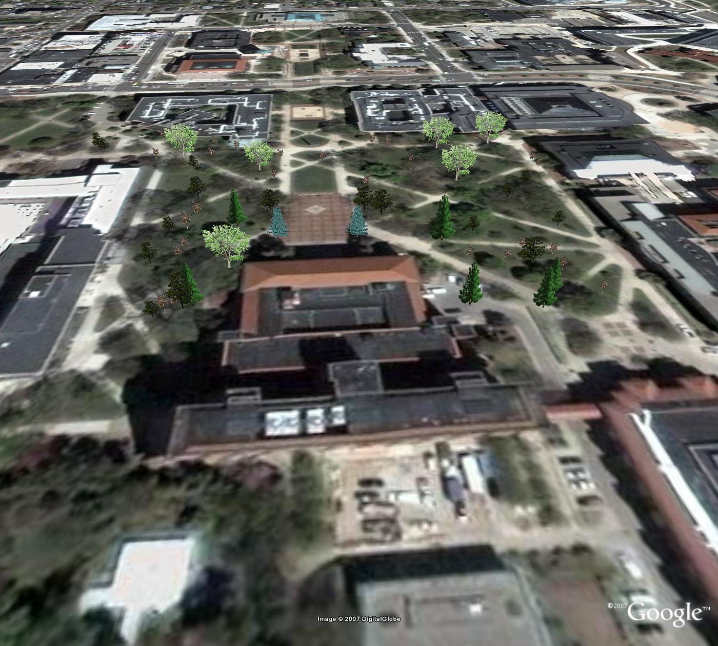
| Diag Trees. Model by Lauren Leigh Hoffman. The trees in the interior of the Diag work together with the buildings to define this space. | skp | kmz | |
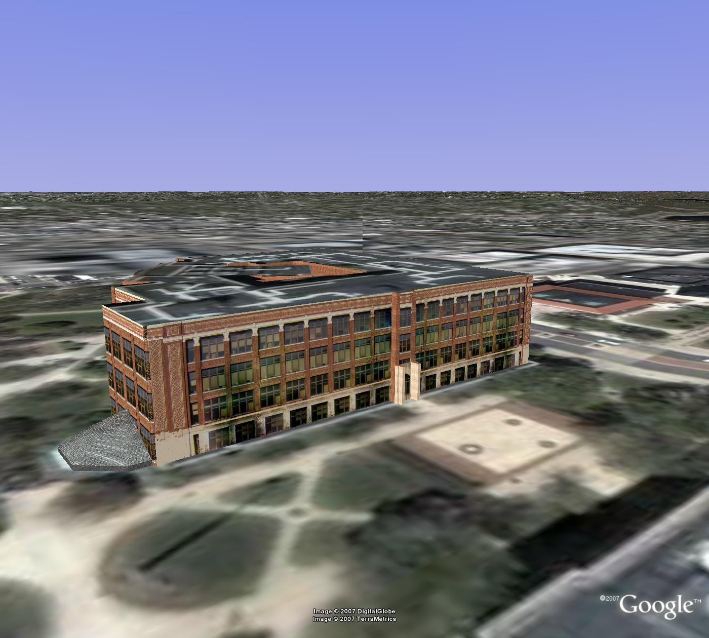
| Chemistry
Building. Large single building near the northeast
corner of the Diag. It has had substantial additions
tacked on over the years. 930 N. University, Ann Arbor,
MI 48109-1055. Photo textures by Andrew Walton. |
skp | kmz | |
| Kraus Natural Science Building. Generations of botany students fondly recall classes in the greenhouse perched on the northern edge of the "Diag" that is attached to the "Nat. Sci." building. 830 North University, Ann Arbor, MI 48109 | skp | kmz | |
| C. C. Little
Building. Classroom, office, and laboratory
building at the northeast edge of the Diag. 1100 N.
University Ave., Ann Arbor, MI 48109-1005 |
skp | kmz | |
| Dennison Building. The connected high rise and low rise components form this building, often referred to as the Physics and Astronomy building. 500 Church Street, Ann Arbor, MI 48109-1042 | skp | kmz | |
| Pharmacy College. This building is best when viewed in conjunction with the file for the Dennison Building, to which it is attached. 428 Church Street, Ann Arbor, MI 48109-1065 | skp | kmz | |
| East Hall. Formerly known as East Engineering, a modernized version now houses a variety of departments. 530 Church Street, Ann Arbor, MI 48109-1043 | skp | kmz | |
| Michigan League. Conference center just to the north of the Diag. Often it is called "The League." 911 N. University Ann Arbor, MI 48109-1265 | skp | kmz | |
| Hill Auditorium. This centrally-located auditorium is located just to the north of the Diag. It serves not only as the principal theater for the university but also as a venue for special university events such as graduation ceremonies. 825 N.University. Ann Arbor,MI 48109 | skp |
kmz | |
| Burton Memorial
Tower. Carillon tower with clock is a highly
visible landmark on central campus and also for the
entire city of Ann Arbor. 881 North University, Ann
Arbor, MI 48109-1270 |
skp |
kmz |
|
| Modern Language Building. As its name suggests, this building serves as home to several departments concerned with modern languages. Often, however, it is referred to as MLB. Burton Tower sits between this building and Hill Auditorium. 812 East Washington, Ann Arbor, MI 48109-1275 | skp | kmz | |
| Alumni
Center. This building is the heart of the Alumni
Association of The University of Michigan. This
Association is the largest such in the world. 200
Fletcher Street, Ann Arbor, MI 48109 |
skp | kmz | |
| Horace H. Rackham Building. Rackham is the School of Graduate Studies whose adminstrative hurdles many have successfully cleared. The building also serves the entire community with its amphitheater and auditorium. 915 E. Washington Ann Arbor, MI 48109-1070 | skp | kmz | |
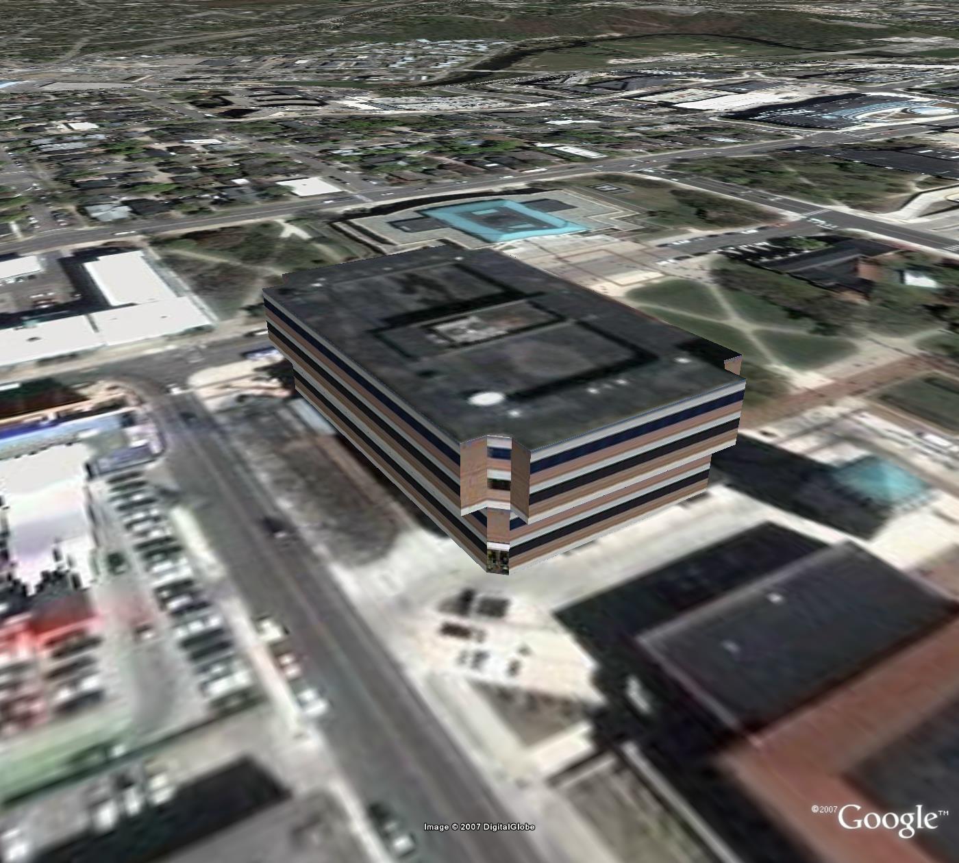
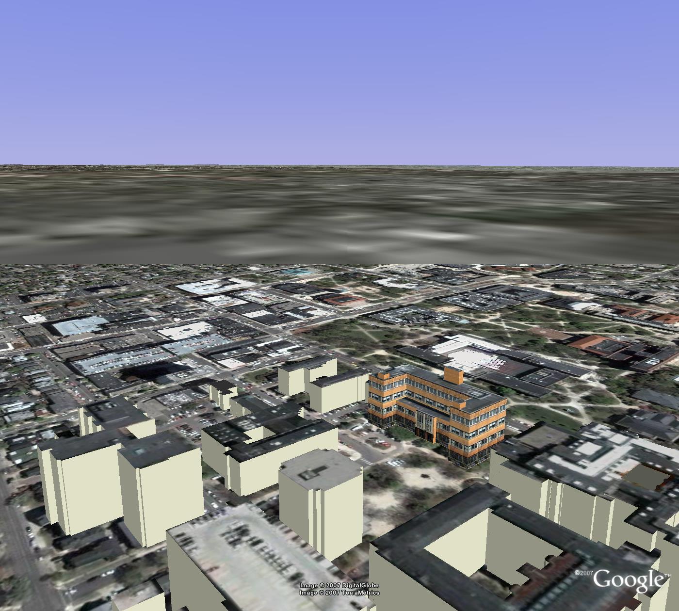
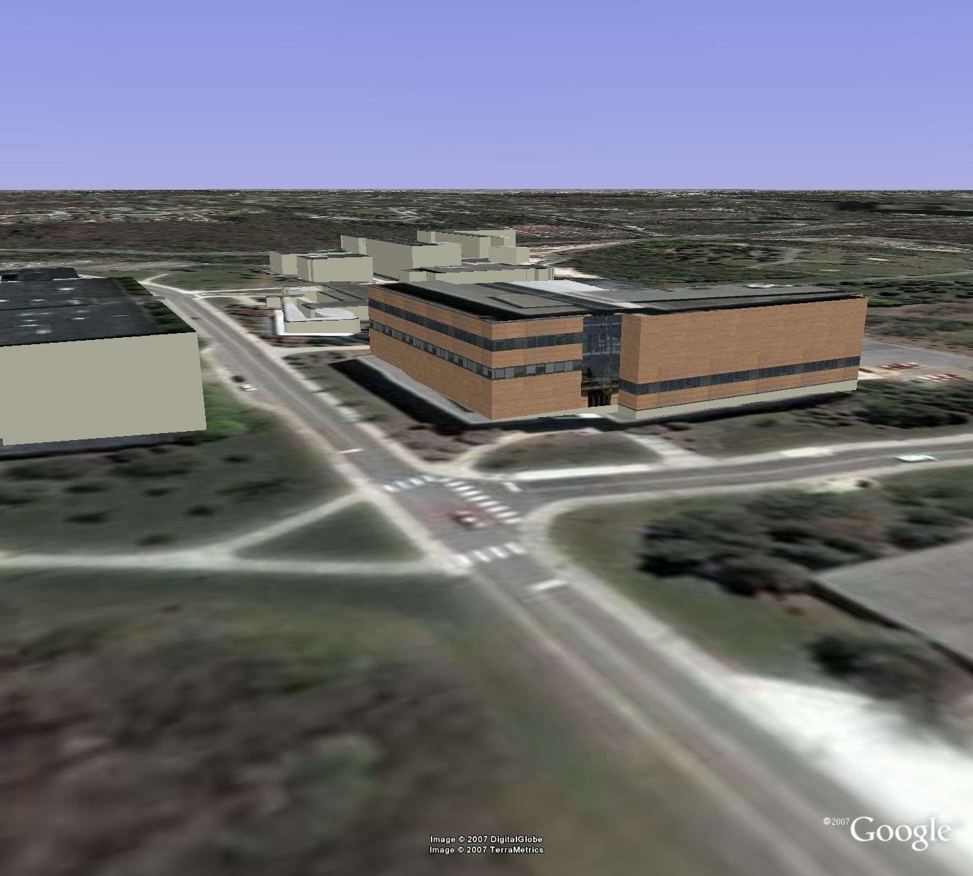
| Biomedical
Science Research Building. This building on
Central Campus is modeled and textured. It serves as the
anchor building for the broader region of nearby
buildings also found in this file. 109 Zina Pitcher
Place, Ann Arbor, MI 48109-2200 |
skp | kmz | |
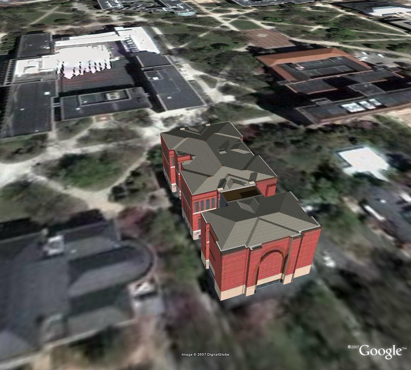
| Frieze
Building. This former Central Campus building is
modeled and textured (2007 has seen its destruction--the
photo textures indicate the beginnings of such). It
serves as the anchor building (as a memorial to its
grandeur) for the broader region of nearby buildings.
105 S. State St., Ann Arbor, MI 48109-1285 |
skp | kmz | |
| Literature,
Science, and the Arts Building. This
salmon-colored post World War II brick building has
served as the seat of the university's liberal arts
college. Often, it is simply referred to as "LS&A."
It is an anchor. 500 S. State Street, Ann Arbor, MI
48109 |
skp | kmz | |
| South Quad.
Model by Juan Sergio Ponce de Leon. This single
building serves as a complement to the larger file
above. South Quad is a residence hall near the
Michigan Union. Many freshmen have lived there,
including Mr. Ponce de Leon when he was a freshman. |
skp |
kmz |
|
| University
Hospitals. This Central Campus hospital
building is modeled and textured. It serves as the
anchor building for the broader region of nearby
buildings also found in this file. 1500 E. Medical
Center Dr., Ann Arbor, MI 48109-0199 |
skp | kmz | |
| Power
Center for the Performing Arts. This Central
Campus glass-fronted building is modeled and textured.
It serves as the anchor building for the broader region
of nearby buildings also found in this file. 121
Fletcher, Ann Arbor, MI 48109-2017 |
skp | kmz | |
| School
of Social Work. This Central Campus building
combines new sleek lines with the claasic brick of
nearby older buildings. It serves as the anchor building
for the broader region of nearby buildings also found in
this file. 1080 South University, Ann Arbor, MI
48109-1106 |
skp | kmz | |
| NORTH CAMPUS, THE
UNIVERSITY OF MICHIGAN |
|||
| Francois-Xavier
Bagnoud Building. This building in the space
research part of North Campus is modeled and textured.
It serves as the anchor building for the broader region
of nearby buildings also found in this file. 1320 Beal,
Ann Arbor, MI 48109-2140 |
skp | kmz | |
| Bursley
Residential Hall. This residence hall on the
steep part of North Campus is modeled and textured. It
serves as the anchor building for the broader region of
nearby buildings also found in this file. 1931 Duffield,
Ann Arbor, MI 48109-2080 |
skp | kmz | |
| Duderstadt
Center. This building on North Campus, home
to the 3D Laboratory, is modeled and textured. It serves
as the anchor building for the broader region of nearby
buildings also found in this file. 2281 Bonisteel, Ann
Arbor, MI 48109-2094 |
skp | kmz | |
| Northwood
IV apartments. These rustic North Campus
apartments fit nicely into the surrounding wooded areas.
They serve as the anchor buildings for the broader
region of nearby buildings also found in this file. 2364
Bishop, Ann Arbor, MI 48109 |
skp | kmz | |
| SOUTH CAMPUS, THE
UNIVERSITY OF MICHIGAN |
|||
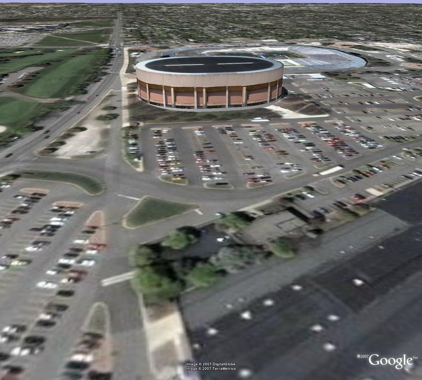
| Crisler Arena. Stadium that is home to the Michigan (Basketball) Wolverines. This large arena also serves as host to other events that require such an indoor space. 333 E. Stadium Blvd., Ann Arbor, MI, 48109-4423 | skp | kmz | |
| Michigan Stadium; "The Big House." Michigan Stadium (Memorial Stadium) is the home of the Michigan (Football) Wolverines. On occasion, it is also used as a venue for outdoor events. Often, graduation ceremonies are held here. This past November, it was used to hold a memorial service to 1201 S. Main Street, Ann Arbor, MI 48109 | skp | kmz | |
| Yost Ice Arena. Model by Juan Sergio Ponce de Leon. The Yost Ice Arena is home to the University of Michigan Hockey Team. 1000 S. State Street, Ann Arbor, MI 48109 | skp | kmz | |
| University of
Michigan Golf Course and Clubhouse. Model by
Andrew Walton. Open the .kmz file in Google Earth
and get tips from a champion on how to play the course! |
skp |
kmz | |
| University of Michigan
Golf Course, vegetation. Model by Lauren Leigh
Hoffman. |
skp |
kmz |
|
| Schembechler
Hall. This colorful (UM colors are "Maize
and Blue") South Campus building is named for the late
Bo Schembechler. It serves as the anchor building for
the broader region of nearby buildings also found in
this file. 1200 South State, Ann Arbor, MI 48109-2203 |
skp | kmz | |
| CAMPUS TOURS |
|||
| Campus Tours. Use placemarks to get a view of what is available in this set. Then, use the placemarks, in conjunction with the geo-referenced 3D buildings as an aid in knowing building names. | |
kmz | |
| DOWNTOWN
DEVELOPMENT AUTHORITY (DDA) |
|||
| Context: Main and Huron Streets, NE. County Building | skp | kmz | |
| Context: Main and Huron Streets, NW. Mixed residential and office use. Northwest corner of Main and Huron Streets. 101 North Main Street, Ann Arbor, MI 48104 | skp | kmz | |
| Context: Huron and Fourth Streets, NE. Hands-On Museum Block | skp | kmz | |
| Context: Huron and Fifth Streets, NE. City Hall block 100 N. Fifth Ave, Ann Arbor, MI 48107 | skp | kmz | |
| Context: Main and Huron Streets, SE. Block to the south and east of the intersection of Main and Huron Streets. | skp | kmz | |
| Context: Main and Huron Streets, SW. Key Bank Building | skp | kmz | |
| Context: Huron and Fourth, SE. City Center Building block | skp | kmz | |
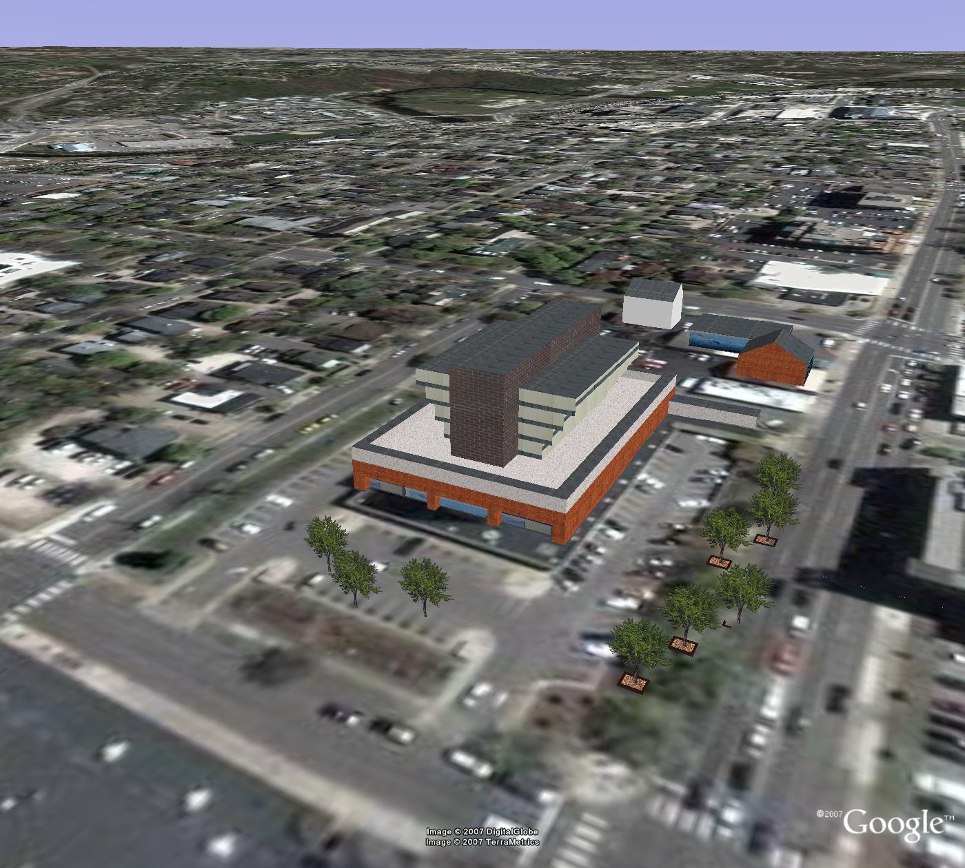
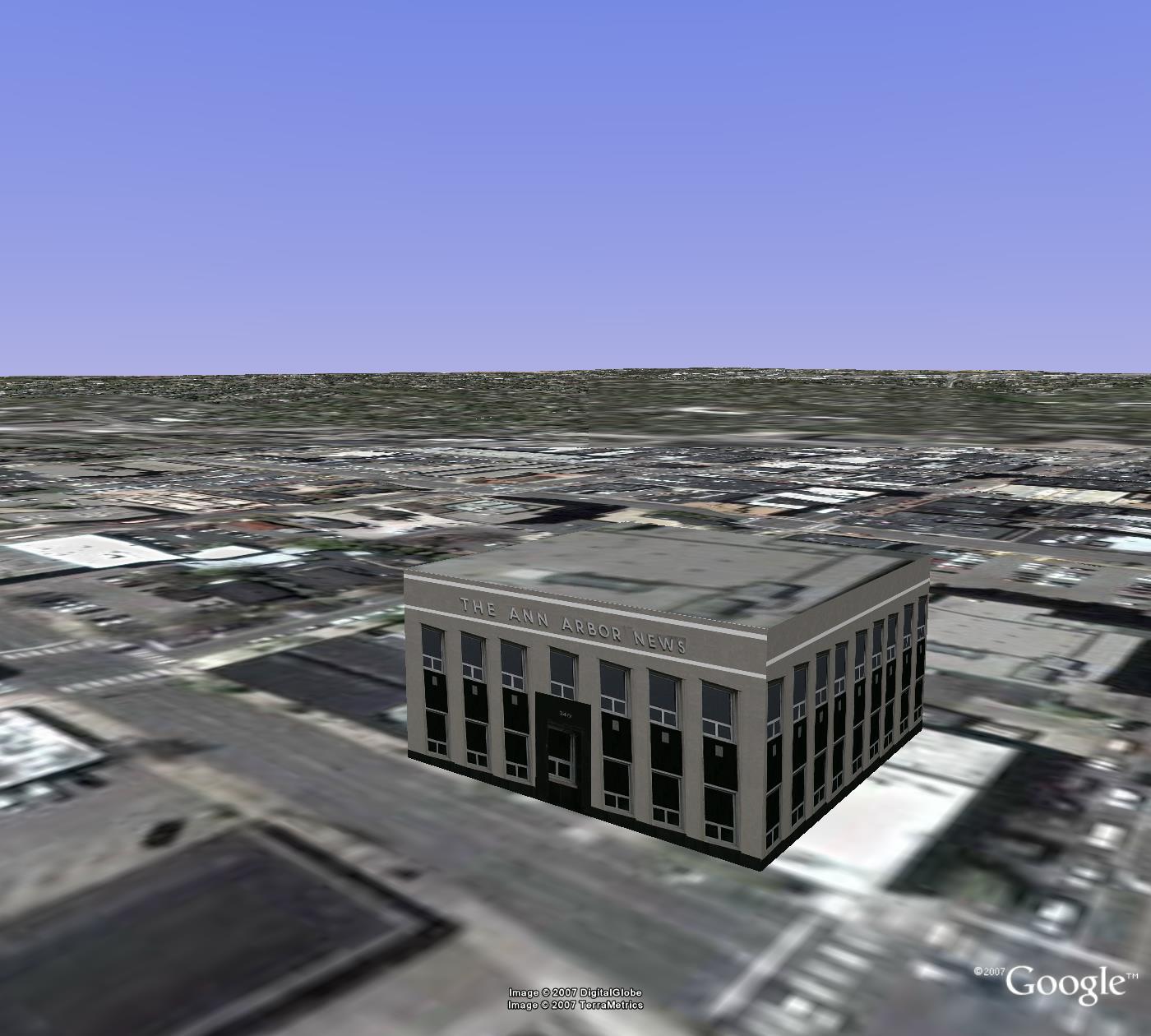
| Context: Huron and Fifth Streets, SE. Ann Arbor News (partial) | skp | kmz | |
| Context:
Main and Liberty Streets, NE. Textured
buildings located on a block 2 blocks south of the
intersection of Main and Huron Streets, and one block to
the east of that intersection. |
skp | kmz | |
| Context: Main and LIberty Streets, NW. Textured buildings located on a block 2 blocks south of the intersection of Main and Huron Streets, and one block to the west of that intersection. | skp | kmz | |
| Context:
Main and Liberty Streets, SE. Textured buildings
located on a block 3 blocks south of the intersection of
Main and Huron Streets, and one block to the east of
that intersection. Mulch in planter is photo of actual
mulch from one of the planters. Trees are maintained by
the Dean Fund. |
skp | kmz | |
| Context:
Main and Liberty Streets, SW. Textured
buildings located on a block 3 blocks south of the
intersection of Main and Huron Streets, and one block to
the west of that intersection. Mulch in planter is photo
of actual mulch from one of the planters. Trees are
maintained by the Dean Fund. |
skp | kmz | |
| Context:
DDA Minus Textured Blocks. Simple extruded
footprints with correct heights (from City of Ann Arbor
Planning Department) for the remainder of buildings in
the DDA. Heights supplied by the Planning
Department. |
kmz | ||
| ANN ARBOR,
OUTSIDE THE DDA AND THE UNIVERSITY OF MICHIGAN |
|||
| Context:
General Ann Arbor 3d-scape. Most Ann Arbor
buildings outside the DDA and UM. File exported to .kmz
from ArcMap. Lines up with terrain in Google Earth.
Building height set arbitrarily to 2 stories for all
buildings. 2D building footprints made by Environmental
Coordination Services |
kmz | ||