3D Atlas of Ann
Arbor, 2nd Edition
2024 Revision
Editor and Principal Author, Sandra Lach Arlinghaus, Ph.D.; see credits at bottom of homepage.
Copyright 2006, Institute of Mathematical Geography or by authors of documents.
2024 Revision
Editor and Principal Author, Sandra Lach Arlinghaus, Ph.D.; see credits at bottom of homepage.
Copyright 2006, Institute of Mathematical Geography or by authors of documents.
Focus on 3D Models of downtown buildings in the Downtown Development Authority (DDA) of Ann Arbor, Michigan
in association with an application of a simulated flood of Allen's Creek.
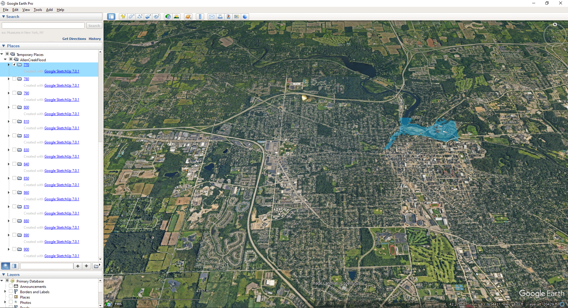
Unless otherwise noted, images created by S. Arlinghaus using Google Earth Pro®.
CREDITS:
...the second edition.
- Greatest
thanks go to Prof. Klaus-Peter Beier, Ph.D., Director of
the 3D Laboratory in the Duderstadt Center of The
University of Michigan, for his ongoing advice and
support associated with various projects related to this
one. The staff of the 3D lab, Lars Schumann, Scott Hamm,
Brett Lyons, Eric Maslowski, and Steffen Heise have been
helpful in so many ways:
- Peter Beier's
remarkably clear and beautifully-conceived lectures in
Engineering 477 taught the author concepts in 3D
modeling that transcended individual software packages
making it feasible for her to leverage a wide range of
changing software to follow paths of interest.
His graduate student instructors, particularly Thana
Chirapiwat and Bonnie Bao, graciously aided her in
learning to master the intricacies of modeling both in
high-end graphics packages and in underlying source
code (vrml) that later proved of great value in
merging files created for the Google Earth® displays in this
book.
- Lars Schumann offered wise suggestions concerning the display of the entire set of buildings. Not only did he initiate such suggestions but also followed through with the testing of their implementation. In addition he kept the author and others informed, through his constant monitoring of the Google Earth® site, of latest developments. Both he and Matthew Naud originally suggested to the author their interest in placing the existing 3D models into Google Earth®.
- Scott Hamm
offered expert advice on giving demonstrations on the
large size display screens available in the 3D
Laboratory.
Without this group, this atlas would not be
possible in its present form.
- Kris Oswalt, President of Community Systems Foundation, also helped to make the current work possible with his support of software. The importance of having Google SketchUp Pro® and Google Earth Pro® permitted the transition from GIS files to Google Earth Pro® and Google SketchUp Pro® files in a seamless manner using the GIS database to extrude sets of buildings from data appearing in the First Edition.
- Matthew Naud supplied files from the City of Ann Arbor and has been a constant participant in this project from its outset to its present form. His advice and support have been invaluable. Both he and Lars Schumann originally suggested to the author their interest in placing the existing 3D models into Google Earth®.
- Files generously supplied by IT folks, initially for the First Edition but which also play into the Second Edition:
- Merle Johnson of the City of Ann Arbor ITS Department and Chandra Hurd (later Gochanour) of the City of Ann Arbor Planning Department both contributed maps and data: the former was generous in sharing aerials and maps from City of Ann Arbor files and the latter was helpful in sharing her expertise in analyzing city data and in checking selected files.
- Donald T. Uchman, Coordinator of Space Graphics, Space Information and Planning, Plant Extension--AEC, The University of Michigan, generously shared official University map files on locations and sizes of buildings.
- Current files, and their immediate predecessors, were shown to, or discussed with, various groups to elicit feedback during 2006:
- Community
Systems Foundation Annual Conference
- Eric Lipson (Vice-Chair, City of Ann Arbor Planning Commission) and Vince Caruso (Chair, Allen Creek Watershed Group).
- City of Ann
Arbor Planning Commission
- Matthew Naud, City of Ann Arbor Environmental Coordinator
- Community
Systems Foundation group: John Nystuen, Gwen
Nystuen, Fred Goodman, Barton Burkhalter, Ann Larimore
- Board of Directors of local League of Women Voters (Shirley Axon, Judith Mich, and others).
- Tracy Davis (Ann Arbor News), Vivienne Armentrout (Ann Arbor Observer)
- Group
including folks from the City and from the University.
- Many thanks to Prof. Michael Batty, Ph.D., of University College London (Director, Centre for Advanced Spatial Analysis) for his continuing encouragement in working with Google Earth®, both as a participant and as a co-author on related projects.
- Software and hardware used:
- Google Earth Pro®
- Google SketchUp Pro®
- Adobe PhotoShop®
- Adobe ImageReady
- ESRI software: ArcView® GIS with Spatial Analyst® and 3D Analyst® (various editions)
- Microsoft Office®
- Windows XP®
- Hewlett-Packard Pavilion® with Intel Pentium 4 Processor®
Please note the following caution--while donations of digital material were all current at one time, there is a lag in creating materials from them. Regular updating of material continues.
To all of the individuals mentioned here, as well as to those mentioned in the 1st Edition, goes deep appreciation. Remaining errors are those of the editor and principal author alone.
...the first edition
In addition to those above, there are a number of individuals who were either important in the development or the use of the First Edition:
- Development--students from Prof. Beier's course, Engineering 477, Virtual Reality, Fall 2005, 2004, and 2003:
- 2005: A. Domzal, U. S. Hwang, K. J. Walters, Jr..
- 2004: R. Ramesh, I. Shani, and N. Nolan.
- 2003: T.
Kwon, A. Lazzaro, P. Oppenheim, and A. Rosenblum
- Use--application employed by the Downtown Residential Taskforce:
Douglas S. Kelbaugh (Dean, Taubman College of
Architecture and Urban Planning, The University of
Michigan), Fred J. Beal (President, J. C. Beal
Construction, Ann Arbor), Susan Pollay (Executive
Director, Downtown Development Authority), Karen Hart
(Planning Director, City of Ann Arbor), Jean Carlberg
(City Council), Wendy Woods (City Council), Steve Thorp
(Chair, Planning Commission), Frances Todoro (Mayor's
Office), Robert Gillett, and William D. Kinley. Their
thoughtful comments have helped, in various ways, to shape
selected images. Brian Barrick and Peter Pollack,
both of Pollack Designs, followed this work with interest,
as did Ray Detter, DDA Citizens Advisory Committee.
The First Edition, itself, is the best source of notation of other individuals who have participated in various ways over the past 6 years.
Copyright, 2006, All rights reserved. Contact arlinghaus@gmail.com for permissions issues.