|
Tags
3D
Atlas of Ann Arbor, Ann
Arbor.
Description
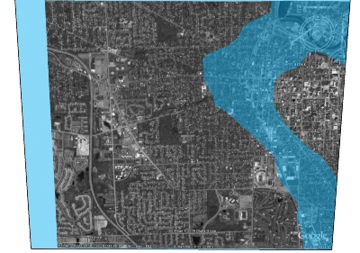
Part of the 3D Atlas of Ann Arbor which includes 12
textured blocks and chunky models of remaining buildings in the
Downtown Development Authority, along with flood models based on
filling contours. Sandra Lach Arlinghaus, sarhaus@umich.edu
http://www.imagenet.org/
Complexity
is based on the number of polygons in the model. More complex models
render more slowly in Google Earth. Learn more about this on our knowledge
base.
Link to this page
Include this model in
your website
Use the link
below to share this page.
Use the code
below to include this model in your website.
|