- *District 1:
Eastern Canada
- *District 2:
Ontario, Manitoba,
and Bermuda
|
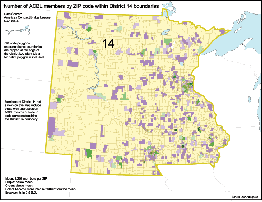
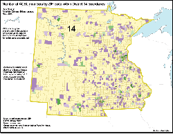
District 14.
Iowa,
Minnesota, North and South Dakota, and Nebraska. Link
to interactive map.
 |
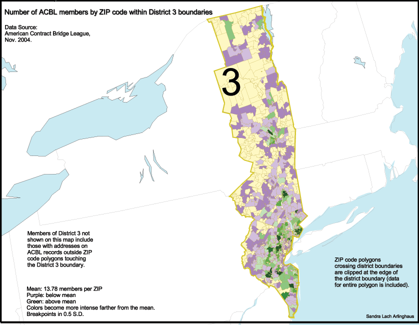
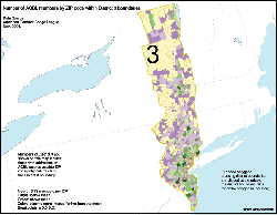
District 3.
Eastern New York (not New York City), Northern New Jersey. Link
to interactive map. Link to page of newer
maps with corrected district boundaries.
 |
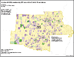
District 15.
Southwest
Missouri, Kansas, Oklahoma, Western Arkansas, and Northern Texas. Link
to interactive map.
 |
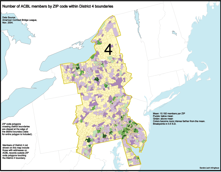
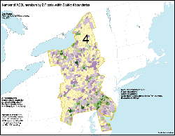
District 4.
Central
New York, Eastern Pennsylvania, Delaware, Southern New Jersey. Link
to interactive map.
 |
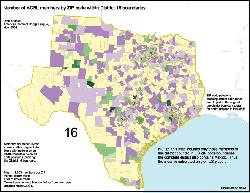
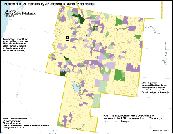
*District
16. Most of Texas, all of Mexico. Link
to interactive map.
 |
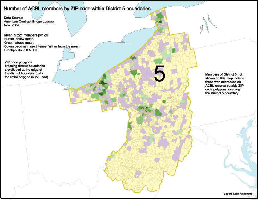
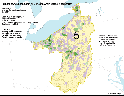
District 5.
Western
Pennsylvania, Eastern Ohio, Western New York, Western Maryland, and
Northern
West Virginia. Link
to
interactive map.
 |
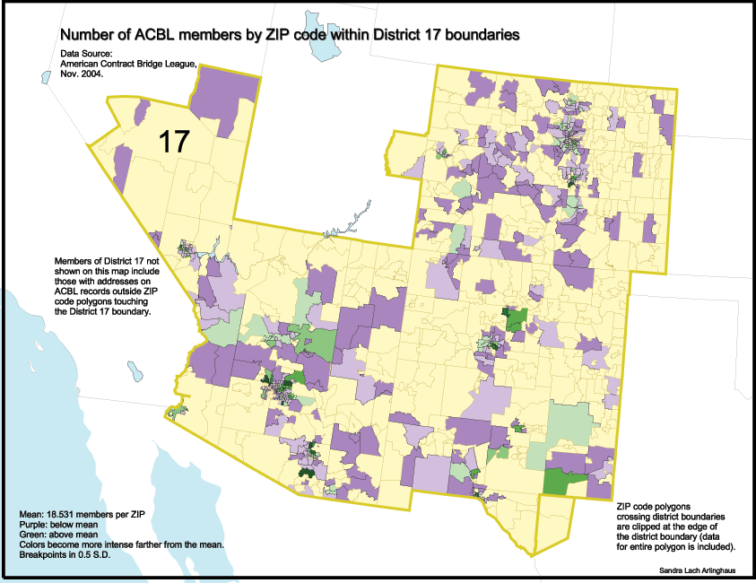
*District
17. Colorado, New Mexico, Arizona, Southern Nevada, Eastern Utah,
West
Texas, and Wyoming. Link
to
interactive map.
 |
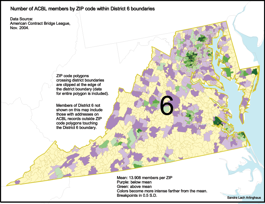
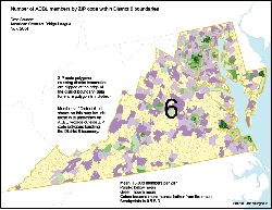
District 6.
Washington D.C., Virginia, and Maryland. Link
to interactive map.
 |
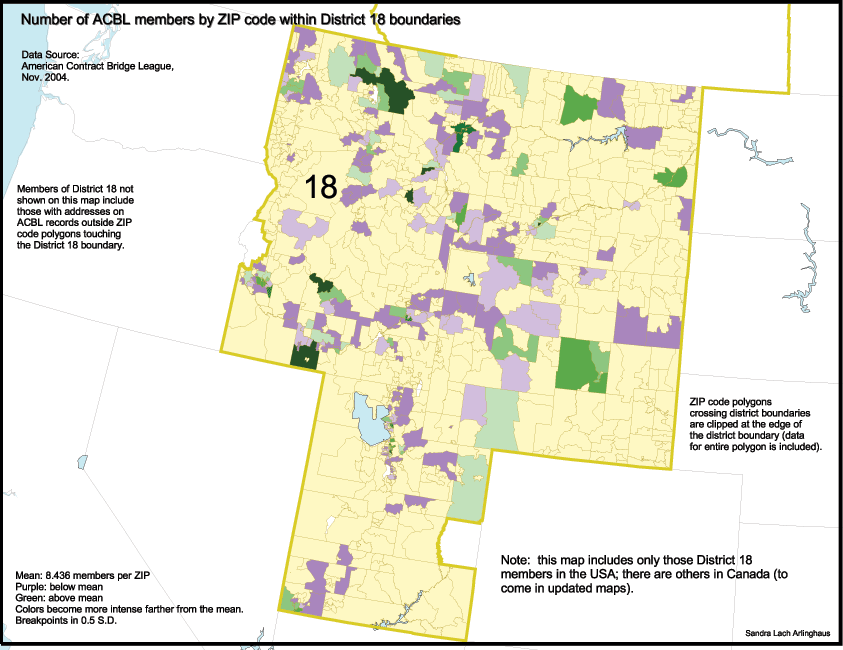
*District
18. Western Canada, Idaho, Montana, and Wyoming. Link
to interactive map.
 |
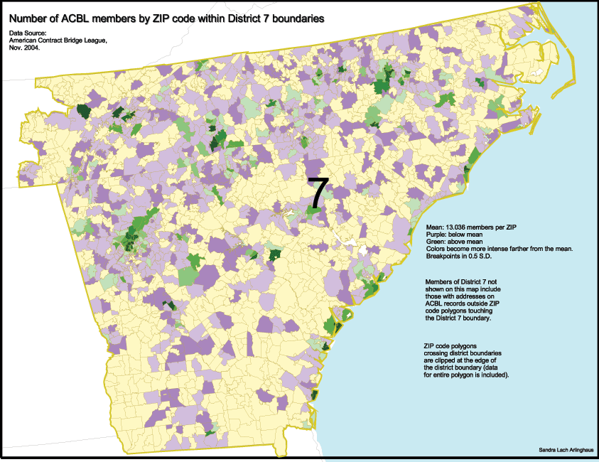
District 7.
North
Carolina, South Carolina, Georgia, and Eastern Tennessee. Link
to interactive map.
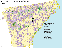 |
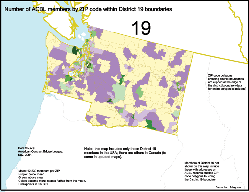
*District
19. Alaska, Washington State, and British Columbia. Link
to interactive map.
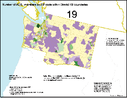 |
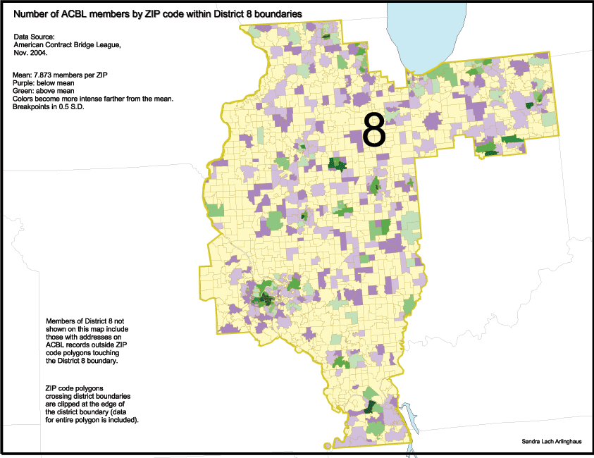
District 8.
St. Louis,
Northern Indiana, Central and Southern Illinois, and Paducah KY. Link
to interactive map.
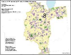 |
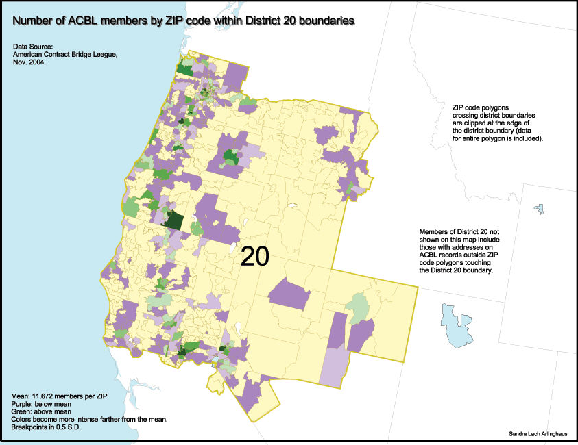
*District
20. Washington, Oregon, Nevada, and Hawaii. Link
to interactive map.
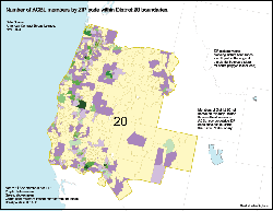 |
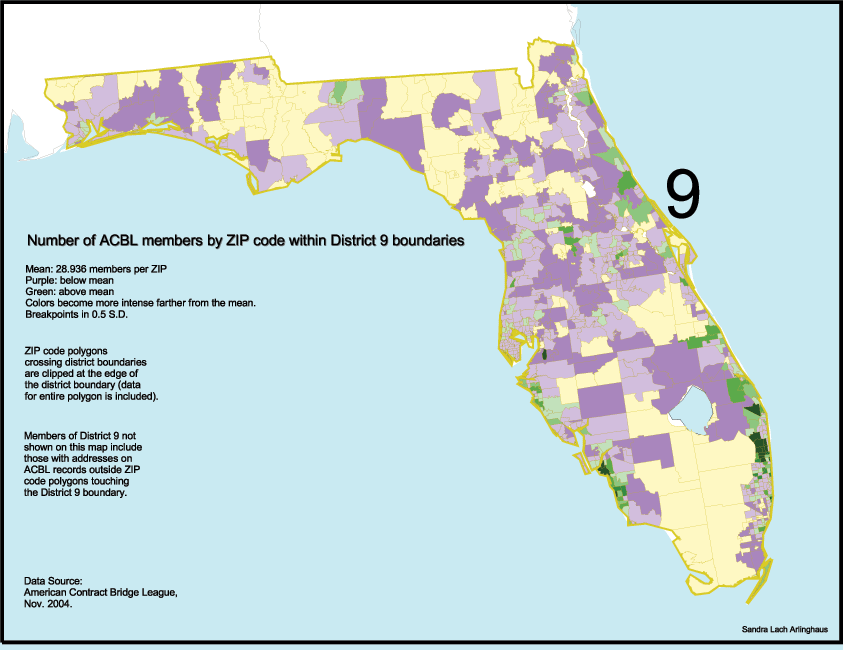
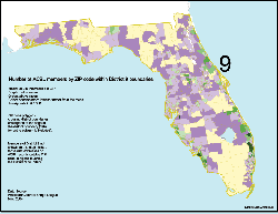
*District 9.
Florida. Link
to interactive map. (Puerto Rico to come)
 |
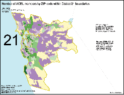
District
21.
Northern California. Link
to
interactive map.
 |
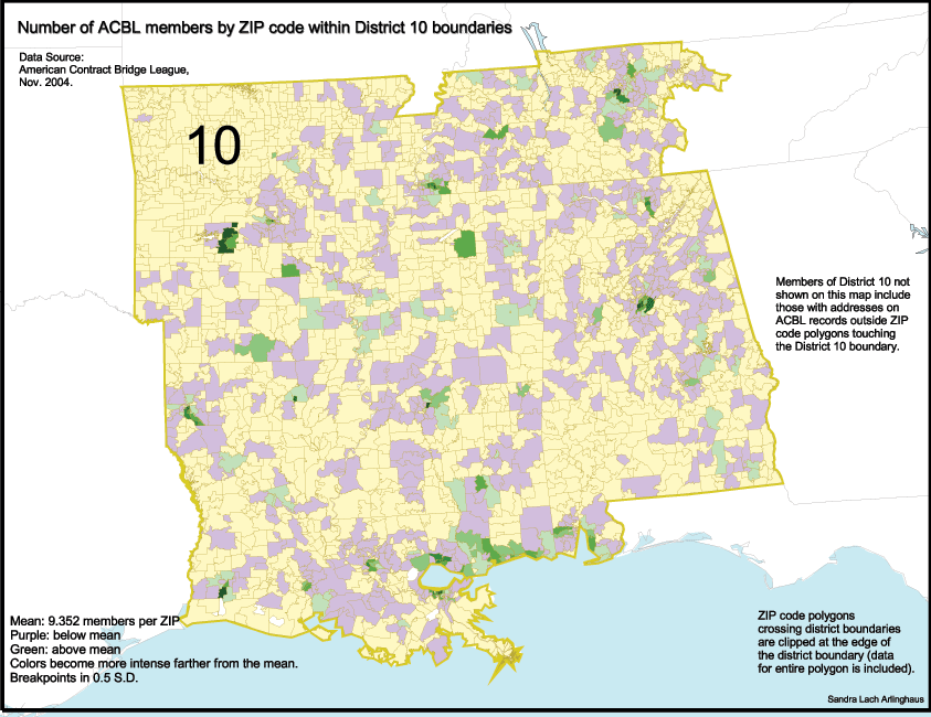
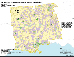
District 10.
Mid-south
bridge conference. Link to
interactive
map.
 |
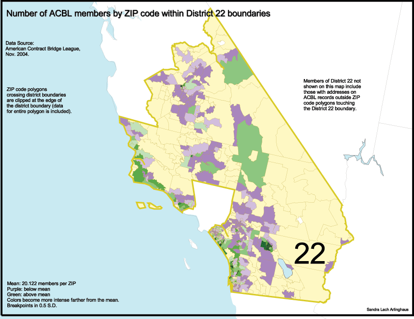
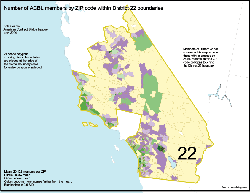
District
22.
Southern California. Link
to
interactive map.
 |
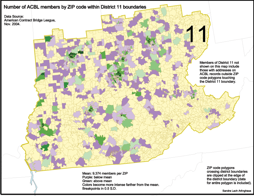
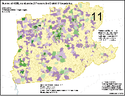
District 11.
Kentucky,
Western Ohio, Central Indiana, and West Virginia. Link
to interactive map.
 |
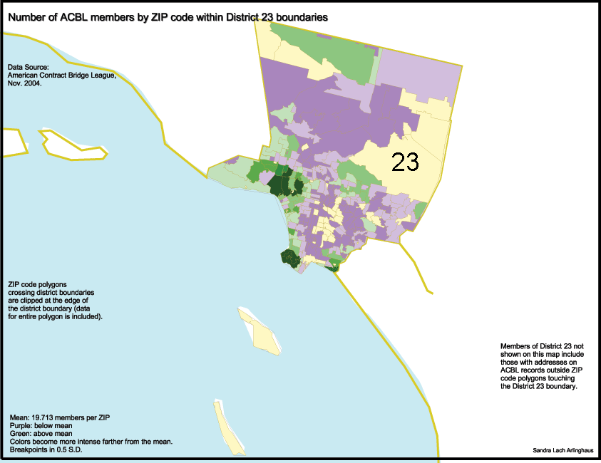
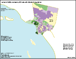
District
23.
California: Los Angeles County. Link
to interactive map.
 |
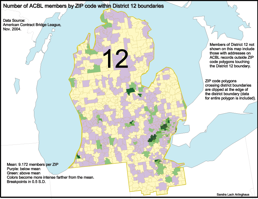
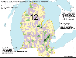
District 12.
Most
of Michigan, Northwestern Ohio. Link
to interactive map.
 |
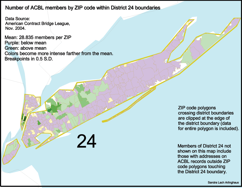
District
24.
New York City and Long Island. Link
to interactive map.
 |
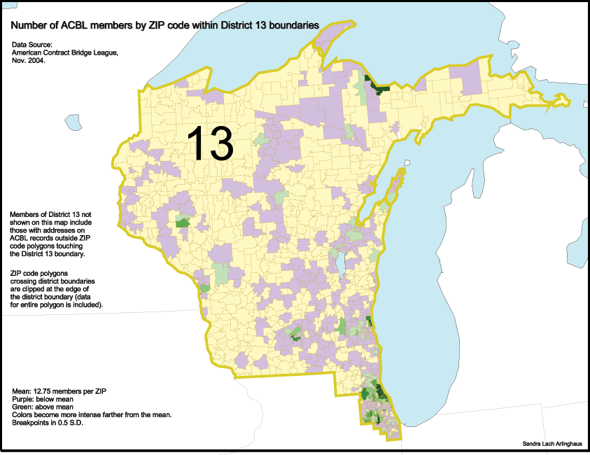
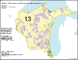
District 13.
Chicago,
Wisconsin, and Upper Michigan. Link
to interactive map.
 |
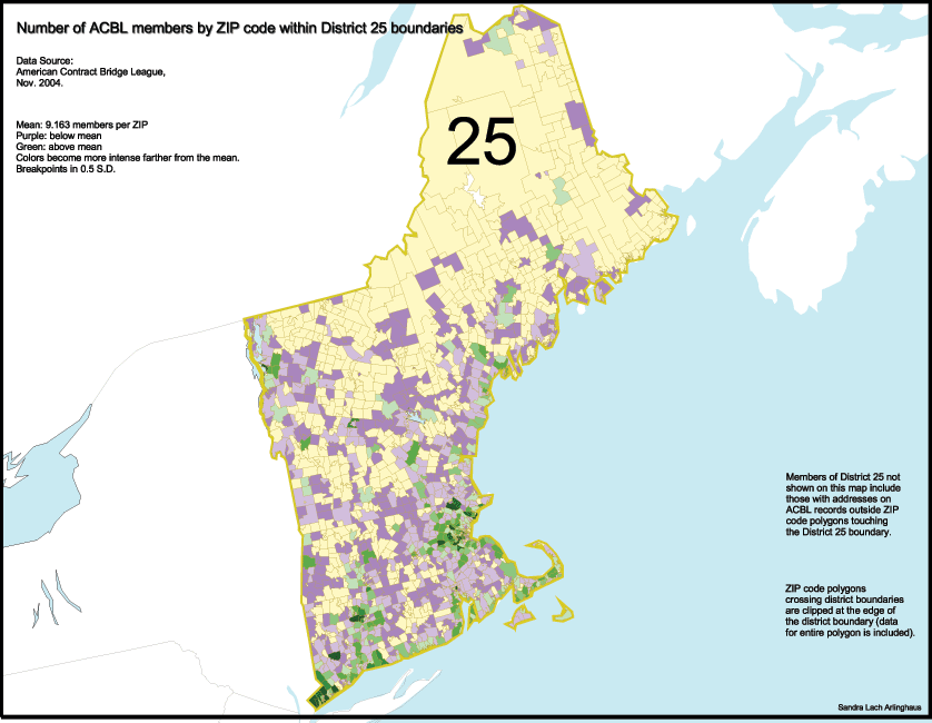
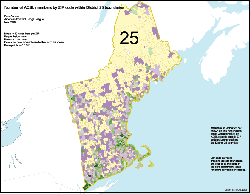
District
25.
New England. Link to
interactive
map.
 |